USAID DEC
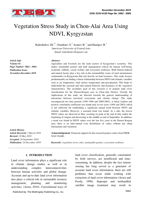
Vegetation Stress Study in Chon-Alai Area Using NDVI, Kyrgyzstan
The agricultural sector in Kyrgyzstan is a significant contributor to the country's economy, with livestock and agriculture being the main sectors.
2019 · 23 pages
Sign in to readA free account is required to download.
Abstract
Sustainable pasture and land management are crucial for human well-being, economic stability, social welfare, and ecosystem resilience. Human-induced and natural factors play a key role in the sustainability issues of rural mountainous communities in Kyrgyzstan that rely heavily on land resources. Research has shown that land cover information plays a significant role in climate change studies and understanding complex interconnectivities between human activities and global change. Accurate and up-to-date land cover information is also essential for sustainable resource management, planning, and monitoring activities. However, conventional ways of land cover classification, such as field surveys, are insufficient and time-consuming. Remote sensing has long served as a generator of accurate land cover information, but there are still problems that occur while working with extraction of land cover information. The Chon-Alay region in Kyrgyzstan is highly vulnerable to natural and anthropogenic impacts, with biological resources still increasingly depleting. Climate change scenarios estimate that Kyrgyzstan will face drastic annual and seasonal variations of temperature and precipitation. Some valuable ecosystems are threatened and are subject to loss due to both unsustainable natural resource use and climate change. Therefore, a study of how the influence of temperature and precipitation can change vegetation dynamics is necessary for better land use economy and climate change adaptation planning. The study aims to identify seasonal and inter-annual variations in NDVI, precipitation, and temperature in the Chon-Alay valley. The research focuses on finding an interrelationship between the abovementioned variables. Initially, it was planned to encompass a 20-year time period from 1993 to 2013, but due to poor weather data quality and unavailability of some satellite images from the USGS database, this study considers two time intervals: 1993-1996 and 2000-2003. The study uses GIS (Geographical Informational Systems) as a management system to provide solutions for the optimal management of land and resources. GIS involves many new technologies for spatial data analysis and serves as a powerful tool for transforming and synthesizing various data for management tasks. The study also uses remote sensing technologies to study the Earth's surface and monitor land cover. Remote sensing has become an irreplaceable tool for monitoring, mapping, and managing land cover, partly due to its ability to quickly collect geo data on a large regional scale. The study found a seasonal trend in NDVI values, with the lowest values observed in May and the highest values at the end of July and/or the beginning of August. A trend was also found in NDVI values over the last five years in the Daroot Korgon area, with an inter-annual even distribution of values without any sharp fluctuations and variations. However, a linear relation and positive correlation coefficient were found only in two years (1994 and 2003), which is not sufficient for establishing a significant annual trend between NDVI and climatic variables. The study has implications for the general understanding of the interaction between terrestrial ecosystems and climate change. The findings of this study can be used to better understand the dynamics of vegetation in the Chon-Alay valley and to develop strategies for sustainable land use and climate change adaptation planning.