THE NATURE CONSERVANCY
CARACTERIZACIÓN BIOFÍSICA
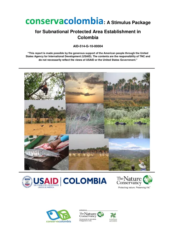
The Conservacolombia initiative, a stimulus package for subnational protected area establishment in Colombia, aims to promote conservation efforts in the country.
2014 · 52 pages
Sign in to readA free account is required to download.
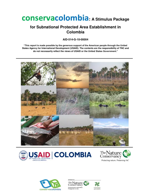
Abstract
The initiative is part of the Conservacolombia program, which is a collaborative effort between various stakeholders to conserve Colombia's natural resources. The program is supported by the American people through the United States Agency for International Development (USAID). The Conservacolombia initiative focuses on the establishment of protected areas in the municipality of Carolina del Príncipe in Antioquia, Colombia. The initiative is part of the SIMAP (Sistema Municipal de Áreas Protegidas) project, which aims to consolidate and characterize the municipal protected area system in the region. The project is led by TNC (The Nature Conservancy) and is supported by various local and international partners. The initiative involves the use of the Local Ecological Footprint Tool (LEFT) to assess the ecological value of parcels of land across the landscape. The LEFT analysis provides maps for various derived measures of ecological value, including biodiversity, vulnerability, fragmentation, connectivity, and resilience. The analysis is based on data from the Global Biodiversity Information Facility (GBIF) and the World Wildlife Fund (WWF) Ecoregion classification. The study area for the LEFT analysis consists of an inner zone, which is 31.09 km east-west by 28.51 km north-south in size. The inner zone is nested within an outer zone, which has a 300 km wide border. The outer zone is used to inform the analysis about ecological patterns and processes within the inner zone. The analysis is limited to terrestrial species that are identified to species level and are further divided into five groups (amphibians, reptiles, mammals, birds, and plants) for analysis. The analysis provides a beta diversity map based on the distance weighted averaged compositional dissimilarity between all pairs of sites. The map shows the potential area for species occurrence sampling and the unsampled area, which is made up of ecoregions that do not intersect with the inner zone of the study site. The analysis also provides a map of vulnerable species distribution, which is derived from the IUCN Red List of Threatened Species. The Conservacolombia initiative aims to promote conservation efforts in the region by establishing protected areas and promoting sustainable land-use practices. The initiative is expected to contribute to the conservation of biodiversity and the protection of ecosystem services in the region. The project is expected to be completed in the near future, and the results will be used to inform conservation efforts in the region. The initiative involves the use of various tools and techniques, including the LEFT analysis, to assess the ecological value of parcels of land across the landscape. The analysis provides a comprehensive understanding of the ecological value of the study area and identifies areas of high conservation value. The initiative also involves the use of remote sensing and GIS technologies to analyze the data and produce maps of the study area. The Conservacolombia initiative is an important step towards promoting conservation efforts in Colombia and protecting the country's natural resources. The initiative is expected to contribute to the conservation of biodiversity and the protection of ecosystem services in the region, and will provide valuable insights into the ecological value of the study area.
Related documents
Documents in this collection
 2014
2014USAID DEC
Acuerdo Número 00019 De 2013 Por El Cual Se Declara La Reserva Forestal Protectora Regional El Palomar (RFP El Palomar) Y Se Adoptan Otras Disposiciones
Open record 2020
2020USAID DEC