CHEMONICS
Deforestación 2020 en los departamentos del bioma amazónico
The Amazon Deforestation Control Program reports a significant increase in deforestation in the northwestern Amazonian arc during January and April 2020.
2020 · 1 pages
Sign in to readA free account is required to download.

Abstract
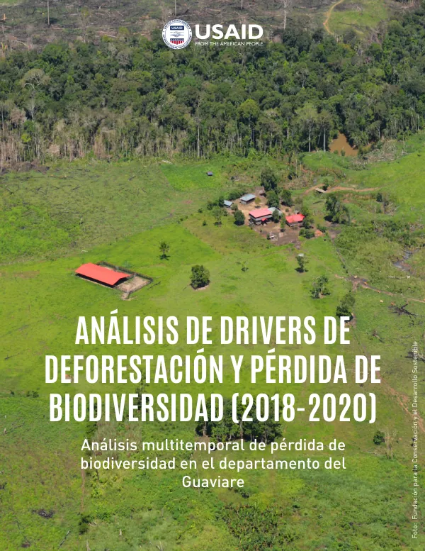
According to the Global Land Analysis & Discovery (GLAD) alerts, a total of 75,031 hectares were deforested, with the department of Caquetá accounting for 34% of the deforestation, followed by Meta with 30% and Guaviare with 25%. The majority of the deforestation occurred in the PNN Tinigua, where 5,454 hectares of forest were lost, primarily in the municipality of La Macarena, located south of the protected area. Additionally, deforestation was reported in the municipality of San Vicente del Caguán, specifically in the sector of the Camuya River, which is an area of ecological and environmental importance due to its transition zone between the natural savannas of the Yarí and the Amazonian forest, located on the border of the PNN Serranía de Chiribiquete. The department of Guaviare experienced a total of 32,097 hectares of deforestation between April 2019 and March 2020. The deforestation was concentrated in several areas, including the road connecting the municipalities of Calamar and Miraflor, the road from the vereda Nueva Barranquillita to the vereda La Paz, located on the border with the Reserva Nacional Natural Nukak, and the veredas Manaviri and Angoleta, located north of the Parque Nacional natural Serranía de Chiribiquete and west of the Resguardo Indígena Nukak Makú. The main causes of deforestation in these areas were the creation and expansion of existing lots for the illegal appropriation of land, the opening of roads, the planting of pastures for livestock, agro-industry, and the planting of illicit crops. At a more local scale, deforestation in the veredas was consistent with the proximity to the main forest matrix, with areas closer to the forest having more forest within them. The veredas in the municipality of El Retorno, which is the smallest municipality, had the highest number of deforestation records for the period, with the location of these veredas related to the roads that are transforming the landscape. The national protected areas located in the department of Guaviare were affected by the planting of new illicit crops in the case of the RNN Nukak, located on the margin of the Inírida River, and the expansion of the illegal road infrastructure in the sector of Angoleta, which is the site where the first operation against deforestation took place in 2019, known as "Artemisa". This operation has proven to be ineffective over time. The RNN Nukak had an increase in the size of the new lots where coca crops were planted, with some lots reaching a maximum of 13 hectares deforested, with an average opening size of 2 hectares for the entire reserve.
Related documents