USAID DEC
Deforestation and forest degradation due to gold mining in the Peruvian Amazon: a 34-year perspective
Sign inUSAID DEC
Deforestation and forest degradation due to gold mining in the Peruvian Amazon: a 34-year perspective
The Peruvian Amazon has experienced significant deforestation and forest degradation due to gold mining over a 34-year period.
2018 · 16 pages
Sign in to readA free account is required to download.
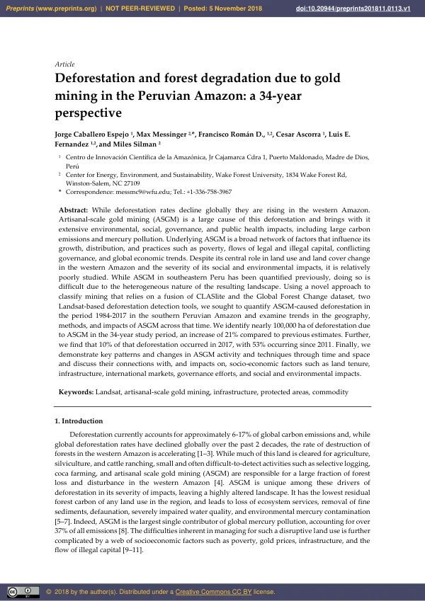
Abstract
The study area, centered on a large gold rush in the department of Madre de Dios and the lowland portions of the departments of Cusco and Puno, covers approximately 7,300 km2. This region is transected by the Interoceanic Highway, a road infrastructure program that connects the Pacific and Atlantic coasts through Brazil and Peru. Deforestation rates in the western Amazon have been declining globally, but the rate of destruction of forests in the western Amazon is accelerating. Artisanal-scale gold mining (ASGM) is a significant contributor to this deforestation, with extensive environmental, social, and governance impacts. ASGM is responsible for large carbon emissions and mercury pollution, and it has the lowest residual forest carbon of any land use in the region. The study used a novel approach to classify mining that relies on a fusion of CLASlite and the Global Forest Change dataset, two Landsat-based deforestation detection tools. This approach greatly increases the ability to automatically detect land conversion due to ASGM. The study examined the annual extent and distribution of ASGM-caused deforestation over 34 years in the study area, looking at economic and policy factors and their effects on historical and current deforestation rates. The results show that nearly 100,000 ha of deforestation due to ASGM occurred in the 34-year study period, an increase of 21% compared to previous estimates. The highest deforestation due to ASGM was recorded in 2017, with 10% of the total deforestation occurring in that year. The study also found that 53% of the deforestation occurred since 2011. The results demonstrate key patterns and changes in ASGM activity and techniques through time and space, and discuss their connections with, and impacts on, socio-economic factors such as land tenure, infrastructure, international markets, governance efforts, and social and environmental impacts. The study area is of global conservation importance and lies within the Vilcabamba-Amboro Conservation Corridor, including portions of three Peruvian federally protected areas: the Tambopata National Reserve, the Bahuaja-Sonene National Park, and the Amarakaeri Communal Reserve. While these areas differ in their objectives in terms of conservation and protection of indigenous peoples, mining is strictly prohibited in all three. The region has been historically inaccessible, which has left large areas of primary forest intact. However, the population of Puerto Maldonado has grown significantly, from 5,300 in 1972 to over 78,000, and the region has seen significant improvements in regional mobility, including the completion of the Interoceanic Highway in 2012. The study highlights the challenges in quantifying land conversion due to ASGM and the need for distinct governance and management regimes for different ASGM methods and their resulting degrees of disturbance and long-term impacts. The results also show that, despite multiple interventions and policy changes, mining continues to be a major driver of land conversion in southeastern Peru.