USAID DEC
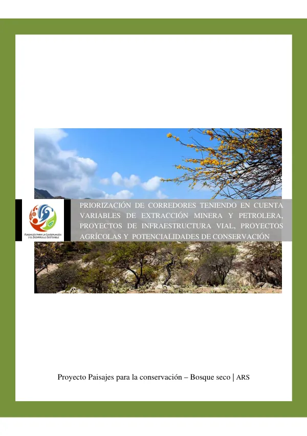
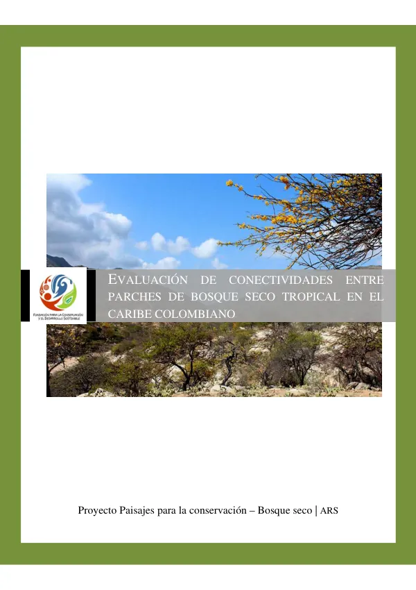
EVALUACIÓN DE CONECTIVIDADES ENTRE PARCHES DE BOSQUE SECO TROPICAL EN EL CARIBE COLOMBIANO
Sign inUSAID
EVALUACIÓN DE CONECTIVIDADES ENTRE PARCHES DE BOSQUE SECO TROPICAL EN EL CARIBE COLOMBIANO
The evaluation of connectivity between patches of dry tropical forest in the Colombian Caribbean region is a key objective of the Proyecto Paisajes para la conservación – Bosque seco | ARS initiative.
2014 · 28 pages
Sign in to readA free account is required to download.
Abstract
This project aims to strengthen institutional capacity and governance in protected areas and their adjacent zones to achieve long-term conservation of natural and cultural diversity, while improving the living conditions of communities in prioritized geographic areas. The project focuses on the dry tropical forest ecosystem, which is one of the most threatened ecosystems in the Neotropics. The evaluation of connectivity between patches of this ecosystem is crucial to prevent habitat fragmentation, loss of biodiversity, and the effects of climate change on biota. The project uses a spatial analysis methodology, including the use of geographic information systems and the "cost-weighted distance" method, to identify areas with potential for connectivity between patches of dry tropical forest. The study area is located in the Colombian Caribbean region, covering an area of approximately 12.5 million hectares. It includes the Serranía del Perijá, the Montes de María, and the Sierra Nevada de Santa Marta as the most prominent elevations, as well as the complex wetlands of the Madalena-Cauca river. The region is characterized by a diverse range of land uses, including agro-industrial developments such as palm, cotton, maize, cacao, banana, and pastures for cattle. The project aims to identify areas with high connectivity potential between patches of dry tropical forest, as well as areas with high resistance to connectivity. The methodology used includes the calculation of minimum effort and resistance surfaces to identify corridors of connectivity for the conservation of the dry tropical forest ecosystem. The study will provide a regional-scale analysis and serve as a guide for the establishment of restoration projects for the corridors of dry tropical forest, which will allow for their conservation and improvement. The project's objectives are to identify the probabilities of connectivity between remnants of the dry tropical forest ecosystem in the Colombian Caribbean region, with natural and non-natural land cover types that allow for connectivity. The specific objectives are to identify the values of resistance to connectivity of vegetal cover types according to their structure, to apply the methodology for the calculation of minimum effort and resistance surfaces for the identification of corridors of connectivity for the conservation of the dry tropical forest ecosystem, and to analyze the conservation scenarios that present themselves for the identified corridors and their respective pressures. The study's limitations are that it only considers the structural component of vegetal cover types, excluding functional connectivity. The analysis is at a regional scale and serves as a guide for the establishment of restoration projects for the corridors of dry tropical forest, which will allow for their conservation and improvement. In subsequent implementation and development of specific projects, a detailed study at a better temporal and spatial scale will be necessary.