USAID DEC
Hydrogeosphere Transformable by the Georgians of Water Genesis in the Mountain Megapolis Dushanbe
Sign inUSAID DEC
Hydrogeosphere Transformable by the Georgians of Water Genesis in the Mountain Megapolis Dushanbe
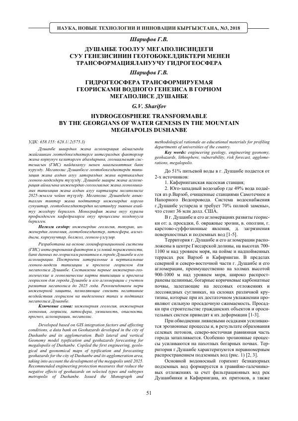
The city of Dushanbe and its agglomeration are located in the center of the Gissar Valley, at elevations of 700-1100 meters above sea level, on the floodplain and over-floodplain terraces of the Varzob and Kafirniyan rivers.
2018 · 5 pages
Sign in to readA free account is required to download.
Abstract
The territory is characterized by a complex geological structure, with a variety of rock types and formations. The hydrogeological conditions of the Gissar Valley are divided into three provinces: Gissar, Middle-Kafirniyan, and Lower-Kafirniyan. Each province is further subdivided into sub-provinces, which are distinguished by the dynamics of groundwater. The sub-provinces are grouped into areas, which are divided into sub-areas based on the relationship with the relief, as well as the depth of the groundwater table. The water-bearing horizons in the Gissar Valley are formed in gravel and pebble deposits of the Quaternary and modern sediments, which are widespread in the floodplains and all over-floodplain terraces of the Kafirniyan River. The mineralization of groundwater is generally less than 1 g/l. The movement of groundwater flows is oriented downward in general, following the overall slope of each of the valleys. The Gissar Province is divided into three sub-provinces: Gissar, Khanaka-Karatag, and Upper-Surkhandarya. The formation of groundwater flow is carried out due to the infiltration of the Kafirniyan River. Additional feeding occurs also due to the infiltration of irrigation waters from fields and irrigation canals, and partially due to atmospheric precipitation. The water-bearing horizons in the Gissar Valley are complex and characterized by a large variability in terms of both area and depth. The water-bearing capacity of the gravel and pebble deposits of the north-eastern part of the Dushanbe agglomeration (Vakhdat district) decreases towards the borders of the Dushanbe agglomeration, which is associated with the deterioration of filtration properties caused by the introduction of alluvial material from the slopes of the Bokovoy saeves. The coefficient of filtration of the gravel and pebble deposits varies from 45.2 to 57.2 m/second. In general, the water-bearing horizon in the Dushanbe agglomeration is characterized by a high coefficient of permeability, exceeding 1000 m2/second, which decreases towards the foothills to 300-500 m2/second [2, 3]. The depth of the groundwater table in the Dushanbe agglomeration depends on the character of the meso-relief, feeding, and discharge conditions, and varies within wide limits - from self-flow - 1.0 to 50 and more meters. In the deposits of the riverbeds and high floodplains, the water table of the groundwater in dependence on the micro-relief lies at a depth of 1-1.5 m, causing flooding. On the area of the first over-floodplain terrace, the water table of the groundwater lies at a depth of 5-10 m, near the foothills this depth increases to 20 and more meters. The main source of feeding of the groundwater of the Dushanbe agglomeration is the surface waters. The inflow from outside plays a significant role in the water balance of the valley. The total underground discharge of the Kafirniyan River is approximately 520 thousand m3/second [2, 3]. The Ilyak complex deposits are represented by covering lesovidous clays, often containing layers of detrital material. In the basis of them, thin gravel deposits are located. Ilyak deposits are almost waterless due to the strong erosion of the relief by the erosion network, serving as natural drains, and the absence of feeding of underground waters. The Khanaka-Karatag sub-province occupies the area of development of the same watershed, composed of lesovidous clays up to 20-25 m in depth, underlain by non-uniform gravel deposits and fillers. The Upper-Surkhandarya sub-province covers the northern part of the valley. The laws of change of the riverbed facies are the same as in the Gissar Valley. The maximum water-bearing capacity is characteristic of the deposits of the central part of the valley (specific discharge of 20 l/second). To the north, towards the foothills, the water-bearing capacity sharply decreases. In the southern direction, from the Karatag River, the groundwater flow is submerged and spreads. The feeding of groundwater is carried out due to the infiltration of fresh surface waters. Infiltration from rivers occurs in the northern part of the area, while in the southern part, the rivers drain the water-bearing horizon. The third over-floodplain terrace is composed of a layering of meadow soil - sand, clay, lo
Related documents