USAID DEC
Improvement of Air Pollution Monitoring and Management in Vietnam with Satellite PM2.5 Observation
Sign inCATHOLIC RELIEF SERVICES ORGANIZATION
Improvement of Air Pollution Monitoring and Management in Vietnam with Satellite PM2.5 Observation
Air pollution in Vietnam has been a concerning issue due to increasing emissions from domestic sources such as transportation, industry, agriculture, heating, and heating, as well as the impact of air pollution through long-range transport (LRT).
2023 · 54 pages
Sign in to readA free account is required to download.
Abstract
The Environmental Performance Index (EPI) for the year 2022 indicates that the level of exposure to air pollution in Vietnam is among the highest in the region. The EPI measures the environmental performance of countries based on 11 indicators, including air quality being one of the key indicators. The main sources of air pollution in Vietnam are transportation, industrial activities, and agricultural activities, which account for 70% of the total emissions. The remaining 30% comes from domestic heating, cooking, and other sources. The high levels of air pollution in Vietnam have significant impacts on human health, including respiratory problems, cardiovascular diseases, and lung cancer, as well as economic losses, estimated to be around 1.5% of the country's GDP. The government of Vietnam has implemented various policies and measures to reduce air pollution, including the development of a national action plan to reduce air pollution, the implementation of emission standards for vehicles, and the promotion of clean energy sources. However, the effectiveness of these measures is limited due to the lack of enforcement and the high levels of corruption in the country. The LASER PULSE program, funded by USAID, aims to improve air pollution monitoring and management in Vietnam through the use of satellite PM2.5 observation. The program focuses on the development of a PM2.5 dataset, which is used to assess the status of PM2.5 and its impact on human health in Vietnam. The dataset is also used to develop a web-based application, POPGIS, which provides real-time air quality information to the public. The PM2.5 dataset is developed using a combination of satellite and ground-based data, including data from monitoring stations and satellite imagery. The dataset is then used to assess the status of PM2.5 and its impact on human health in Vietnam, including the estimation of PM2.5 concentrations, the assessment of the health impact of PM2.5, and the evaluation of the effectiveness of air pollution control measures. The results of the study show that the levels of exposure to PM2.5 in Vietnam are among the highest in the region, with the annual average PM2.5 concentration exceeding the WHO recommendation of 5 µg/m3. The study also shows that the health impact of PM2.5 in Vietnam is significant, with an estimated 1.5% of the population suffering from respiratory problems and lung cancer due to exposure to PM2.5. The study recommends that the government of Vietnam should implement more effective measures to reduce air pollution, including the development of a national action plan to reduce air pollution, the implementation of emission standards for vehicles, and the promotion of clean energy sources. The study also recommends that the government should provide more support to the development of air pollution monitoring and management systems, including the use of satellite PM2.5 observation. The LASER PULSE program has also developed a web-based application, POPGIS, which provides real-time air quality information to the public. The application is designed to be user-friendly and accessible, and it provides information on air quality, including PM2.5 concentrations, ozone, and other pollutants. The application also provides information on the health impact of air pollution and the effectiveness of air pollution control measures. The study concludes that the use of satellite PM2.5 observation can be an effective tool for improving air pollution monitoring and management in Vietnam. The study recommends that the government of Vietnam should continue to support the development of air pollution monitoring and management systems, including the use of satellite PM2.5 observation.
Related documents
Documents in this collection
 2023
2023USAID DEC
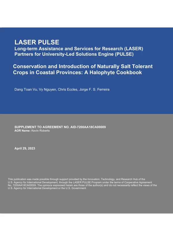
Conservation and Introduction of Naturally Salt Tolerant Crops in Coastal Provinces: A Halophyte Cookbook
Open record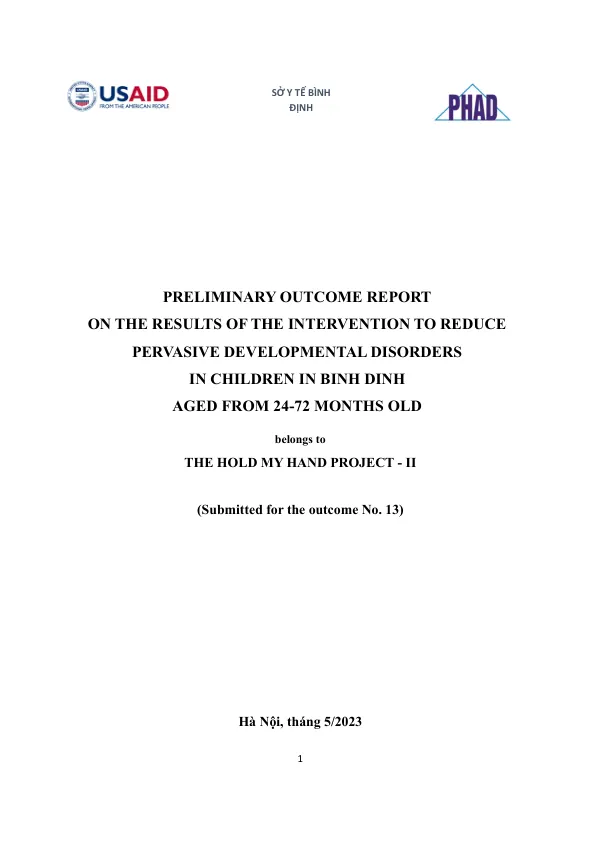 2023
2023USAID DEC
Preliminary Outcome Report on the Results of the Intervention to Reduce Pervasive Developmental Disorders in Children in Binh Dinh, Aged from 24-72 Months Old
Open record