USAID DEC
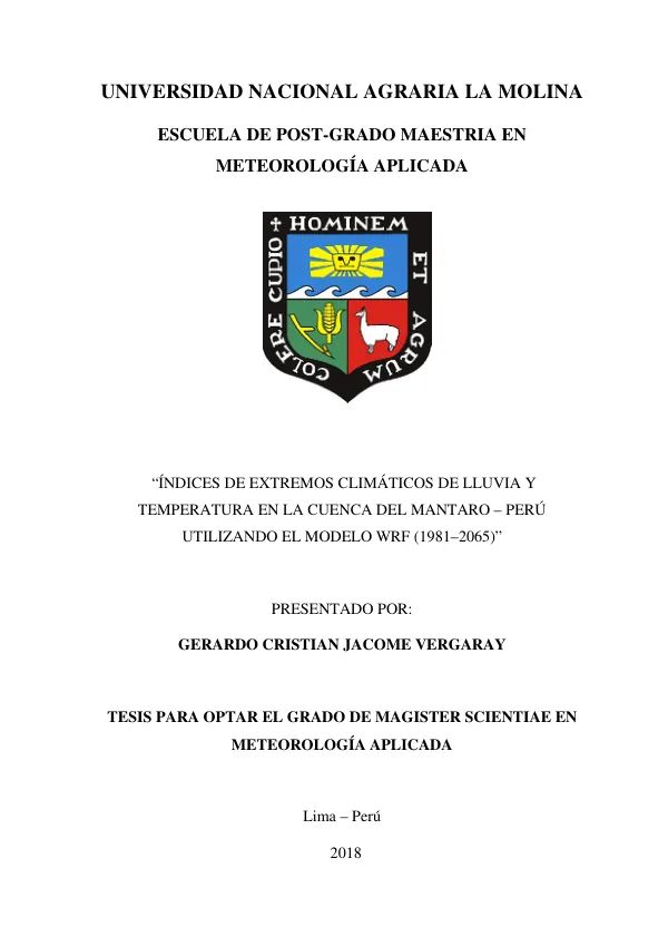
Índices de extremos climáticos de lluvia y temperatura en la cuenca del Mantaro – Perú utilizando el modelo WRF (1981–2065)
Sign inUSAID DEC
Índices de extremos climáticos de lluvia y temperatura en la cuenca del Mantaro – Perú utilizando el modelo WRF (1981–2065)
The Mantaro River Basin in Peru is a region of significant agricultural and economic importance.
2018 · 133 pages
Sign in to readA free account is required to download.
Abstract
Climate change is a pressing concern for this region, with potential impacts on water resources, crop yields, and food security. To better understand the climate extremes in the Mantaro River Basin, a study was conducted using the Weather Research and Forecasting (WRF) model. The WRF model is a regional climate model that uses high-resolution data to simulate weather patterns and climate extremes. In this study, the WRF model was forced with data from the global HadGEM2-ES model, which has a spatial resolution of 200 km. The WRF model was then run at a higher resolution of 16 km to capture the local climate extremes in the Mantaro River Basin. The study focused on two main climate variables: rainfall and temperature. The researchers used the quantile mapping method to correct the rainfall and temperature data from the WRF model to match the observed data from 13 stations in the Mantaro River Basin. This correction was necessary to ensure that the model data accurately represented the local climate conditions. Once the data was corrected, the researchers calculated the climate extremes indices for rainfall and temperature using the ETCCDI (Expert Team on Climate Change Detection and Indices) methodology. The ETCCDI methodology provides a standardized framework for calculating climate extremes indices, which are essential for understanding the impacts of climate change on ecosystems and human societies. The study found that the climate extremes indices for rainfall in the Mantaro River Basin are changing over time. In the northern sector of the basin, consecutive dry days are increasing in the future period, but there is also an increase in days with precipitation that exceeds the 95th and 99th percentiles. In the central sector, consecutive dry days are decreasing, and days with precipitation that exceed the 95th and 99th percentiles are increasing. In the southern sector, consecutive dry days are decreasing with respect to the historical period, and precipitation is increasing above the 95th and 99th percentile, mainly in the intermediate period. The study also found that the climate extremes indices for temperature in the Mantaro River Basin are changing over time. The days with frosts are decreasing in the future with respect to the historical period in the entire Mantaro River Basin, mainly in Marcapomacocha. In the northern sector, the number of warm nights and days is increasing in the future with respect to the historical period. In the central area of the basin, warm and cold days, warm and cold nights are increasing in the future mainly in the near horizon with respect to the historical period. Finally, in the southern sector of the basin, warm and cold days, warm nights and cold are increasing in the future mainly in the intermediate horizon with respect to the historical period. The results of this study have important implications for climate change adaptation and mitigation efforts in the Mantaro River Basin. The changing climate extremes indices for rainfall and temperature in this region will require farmers, policymakers, and other stakeholders to adapt their practices and strategies to ensure food security and sustainable development.