USAID DEC
Informe Bienal de Actualización (Biennial Update Report) de la Capa Geográfica de ZM para los complejos de páramos a escala 1:100.000
Sign inUSAID DEC
Informe Bienal de Actualización (Biennial Update Report) de la Capa Geográfica de ZM para los complejos de páramos a escala 1:100.000
The AFOLU (Agriculture, Forestry, and Other Land Use) sector plays a crucial role in the global carbon cycle, with emissions and removals of greenhouse gases (GHGs) occurring through various land use activities.
68 pages
Sign in to readA free account is required to download.
Abstract
The IPCC (Intergovernmental Panel on Climate Change) has developed a framework for classifying land use types and estimating GHG emissions and removals. In the context of high-altitude ecosystems, such as páramos and turberas, the classification of land use types and the estimation of GHG emissions and removals require specific methodologies. The IPCC has modified its classification system to account for the unique characteristics of these ecosystems. The document outlines a methodology for classifying land use types and estimating GHG emissions and removals in high-altitude ecosystems. The methodology involves the use of remote sensing and field data to classify land use types and estimate GHG emissions and removals. The classification of land use types in high-altitude ecosystems is based on the presence of specific vegetation types, such as páramos and turberas. The methodology also takes into account the presence of other land use types, such as agriculture and urban areas. The estimation of GHG emissions and removals in high-altitude ecosystems is based on the use of remote sensing data and field measurements. The methodology involves the use of spectral indices to classify land use types and estimate GHG emissions and removals. The document also outlines the use of statistical and spatial analysis techniques to post-process the data and estimate GHG emissions and removals. The methodology involves the use of regression analysis and spatial interpolation to estimate GHG emissions and removals. The classification of land use types and the estimation of GHG emissions and removals in high-altitude ecosystems are critical components of the AFOLU sector's contribution to the global carbon cycle. The methodology outlined in the document provides a framework for estimating GHG emissions and removals in these ecosystems and can be used to inform climate change mitigation and adaptation strategies. The document also highlights the importance of monitoring and verification (MRV) systems in tracking GHG emissions and removals in high-altitude ecosystems. The MRV system involves the use of remote sensing and field data to monitor land use changes and estimate GHG emissions and removals. The methodology outlined in the document can be applied to other high-altitude ecosystems, such as those found in the Andes and the Himalayas. The use of remote sensing and field data to classify land use types and estimate GHG emissions and removals provides a cost-effective and efficient way to monitor and track GHG emissions and removals in these ecosystems. The document also emphasizes the importance of collaboration and coordination among stakeholders, including governments, researchers, and local communities, to develop and implement effective climate change mitigation and adaptation strategies in high-altitude ecosystems.
Related documents
Documents in this collection
 2016
2016USAID DEC
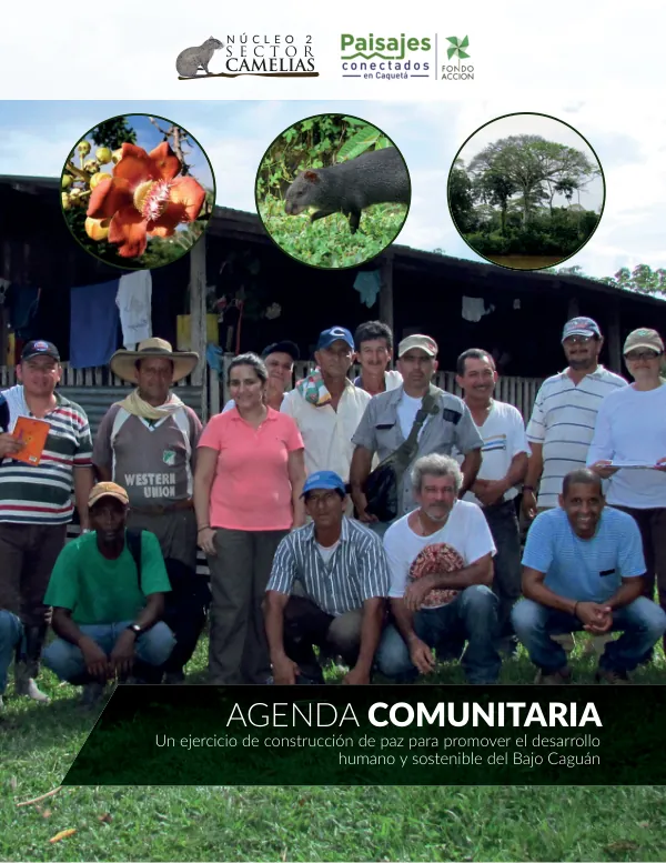
Agenda Comunitaria del Núcleo 2, Sector Camelias, Bajo Caguán
Open record 2014
2014USAID DEC
Final Report: Prevención del Reclutamiento, la Utilización y la Violencia Sexual contra Niños, Niñas y Adolescentes por parte de grupos organizados al margen de la ley y grupos delictivos organizados
Open record