USAID DEC
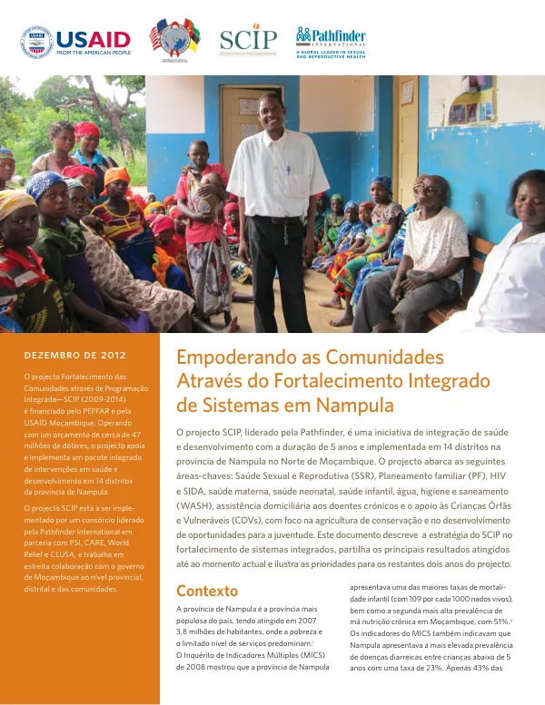
Mapeamento de principais intervenções em 14 distritos da Província de Nampula
Mapeamento de principais intervenções em 14 distritos da Província de Nampula Resultados finais, 2012 The agricultural development initiative in Rwanda began in 2018 with funding from USAID's Food Security Program.
2012 · 50 pages
Sign in to readA free account is required to download.
Abstract
In the Província de Nampula, a mapping exercise was conducted to identify the location of key interventions by the SCIP project in the 14 districts of Nampula. The objective was to use geographic coordinates from GPS and a small questionnaire to gather information. The methodology involved training students from the level superior as mappers, visiting all Community Leadership Councils (CLCs) in the project area, and using GPS coordinates from cell phones with Android systems to map the location of CLCs, Youth Agricultural Clubs, water sources, and other key infrastructure. A total of 902 CLCs were mapped across the 14 districts. The results showed that 65% of CLCs had a record book, while 35% did not. The distribution of CLCs with record books varied by district, with Nacala Velha having the highest percentage at 85% and Nampula Cidade having the lowest at 0%. The percentage of CLCs with record books ranged from 18% in Malema to 67% in Nacala Velha. The mapping exercise also revealed that 584 CLCs had a record book, while 318 did not. The distribution of CLCs with record books by district showed that Nacala Velha had the highest number at 85, followed by Ribaue with 70, and Nampula Rapale with 87. The percentage of CLCs with record books by district ranged from 10% in Nampula Cidade to 80% in Angoche. The results of the mapping exercise provide valuable information for the SCIP project to plan and implement its interventions in the 14 districts of Nampula. The data on the location of CLCs, Youth Agricultural Clubs, and other key infrastructure will help the project to target its interventions more effectively and to monitor its progress over time.
Related documents