USAID DEC
Multiscale Assessment of the Impacts of Climate Change on Water Resources in Tanzania
Sign inMICHIGAN STATE UNIVERSITY FOUNDATION
Multiscale Assessment of the Impacts of Climate Change on Water Resources in Tanzania
Climate change is projected to have significant impacts on water resources in Tanzania.
2016 · 13 pages
Sign in to readA free account is required to download.
Abstract
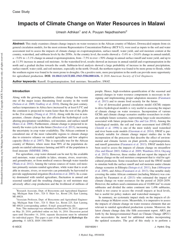
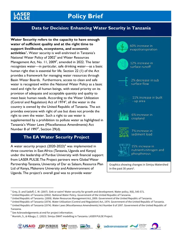
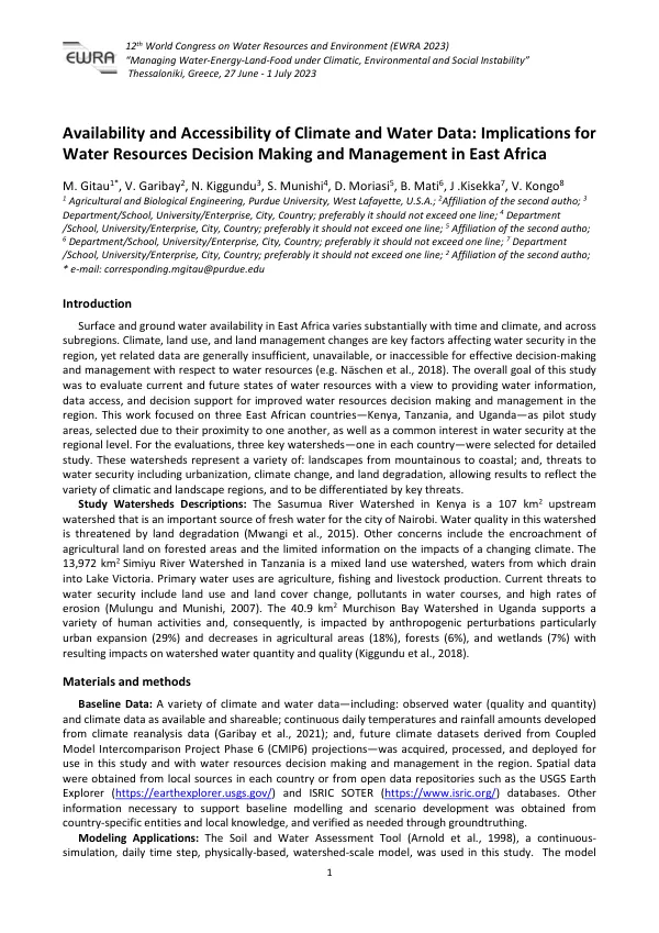
The study assessed the effects of global warming on water resources in Tanzania for the mid-21st century using climate projections from six global circulation models under the most extreme emission scenario (RCP 8.5). The results were analyzed at spatial (country-level, watershed-level, and subbasin-level) and temporal (annual and seasonal) scales concerning potential and actual evapotranspiration, surface runoff, water yield, and soil moisture. At the country level, the results showed a 0.8–27.4% increase in annual precipitation, leading to a general increase in evapotranspiration (−2.2–7.3%), surface runoff (12.6–94.1%), water yield (7.5–73.4%), and soil moisture (2.9–20.7%). Watershed-level analysis showed 2.4–31.5%, −2.6–6.8%, 18.4–159.7%, and 3.2–22.8% changes in average precipitation, evapotranspiration, surface runoff, and soil moisture, respectively. While no distinct spatial trend was identified for evapotranspiration and surface runoff, soil moisture was projected to increase in the majority of the areas during both the wet and dry seasons. Probability analysis at the subbasin level showed that less than 15% of the area, during the wet season, experienced decline in precipitation, soil moisture, potential and actual evapotranspiration, surface runoff, and water yield, while less than 86% of the country experienced decline during the dry season. Overall, the climate change was found to create a more favorable condition for agricultural production during the wet season by increasing the supply of water, but in the dry season, less favorable conditions were projected. Tanzania's climate is characterized by a large variation in rainfall across the country, ranging from below 500 mm to above 2,500 mm annually. The country was divided into 17 watersheds, with size ranging from about 13,200 to 130,000 km2. Cropland/pasture and forest are the major land uses, constituting over half of the area, followed by savanna, crop/woodland, and grassland. The study used physiographical data, including elevation data from the ASTER Global Digital Elevation Model (Version 2) and soil and land use maps from the Waterbase project of the United Nations University. The results of this study are expected to provide valuable information in identifying the vulnerable areas and formulating the targeted adaptation measures so as to enhance the preparedness against climate change risks. The study's findings highlight the need for a holistic impact assessment to support climate change adaptation measures, particularly in rainfed agriculture systems. The results also emphasize the importance of considering seasonal variations in water availability, which are crucial from an agricultural perspective.
Related documents