USAID DEC
Performance of bias corrected MPEG rainfall estimate for rainfall-runoff simulation in the upper Blue Nile Basin, Ethiopia
Sign inBAHIR DAR UNIVERSITY
Performance of bias corrected MPEG rainfall estimate for rainfall-runoff simulation in the upper Blue Nile Basin, Ethiopia
The upper Blue Nile Basin in Ethiopia is a region where good quality precipitation data are scarce.
2018 · 10 pages
Sign in to readA free account is required to download.
Abstract
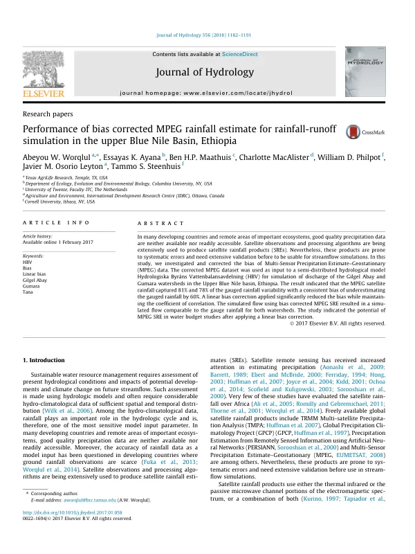
Satellite observations and processing algorithms are being used to produce satellite rainfall estimates (SREs), but these products are prone to systematic errors and need extensive validation before use in streamflow simulations. The Multi-Sensor Precipitation Estimate-Geostationary (MPEG) dataset is one such product that estimates rainfall by blending rainfall rates derived using a passive microwave channel from polar orbiting satellites and infrared channel from a geostationary satellite. The MPEG dataset was used as input to the semi-distributed hydrological model Hydrologiska Byråns Vattenbalansavdelning (HBV) for simulation of discharge of the Gilgel Abay and Gumara watersheds in the Upper Blue Nile basin. The results indicated that the MPEG satellite rainfall captured 81% and 78% of the gauged rainfall variability with a consistent bias of underestimating the gauged rainfall by 60%. A linear bias correction applied significantly reduced the bias while maintaining the coefficient of correlation. The simulated flow using bias-corrected MPEG SRE resulted in a simulated flow comparable to the gauge rainfall for both watersheds. The study indicated the potential of MPEG SRE in water budget studies after applying a linear bias correction. The HBV model was selected due to its proven performance in capturing observed streamflow of watersheds in the upper Blue Nile basin. The study area consisted of two watersheds, Gilgel Abay and Gumara, which are located in the Tana sub-basin of the Blue Nile basin. The watersheds have a complex topography with significant elevation variation, ranging from 1890 to 3530 m in Gilgel Abay and 1800 to 3710 m in Gumara. The slope varies between zero to 140% with an average value of 12% for Gilgel Abay and 17% for Gumara. The dominant soils in Gilgel Abay are Luvisols and Alisols, covering approximately 56 and 40% of the watershed, respectively. Approximately 87% of Gumara watershed is dominated with Luvisols. Both watersheds have a largest surface irrigation potential compared to the sub-basins in the Lake Tana watershed. Rainfall in the study area on average varies between 1300 and 2300 mm (1994-2013). The main rainfall season called 'Kremt' in local language from May to September accounts for up to 80-90% of the annual rainfall. The study area has a complex hydrology, with significant rainfall variability and a high potential for surface runoff. The HBV model was able to capture the observed streamflow of the watersheds, indicating its potential for use in water budget studies.
Related documents