USAID DEC
Non-Point Source Pollution of Dissolved Phosphorus in the Ethiopian Highlands: The Awramba Watershed Near Lake Tana
Sign inBAHIR DAR UNIVERSITY
Non-Point Source Pollution of Dissolved Phosphorus in the Ethiopian Highlands: The Awramba Watershed Near Lake Tana
In the Ethiopian highlands, intensifying agriculture is degrading the water quality of rivers and lakes, thereby threatening the sustainable use of water resources.
2016 · 8 pages
Sign in to readA free account is required to download.
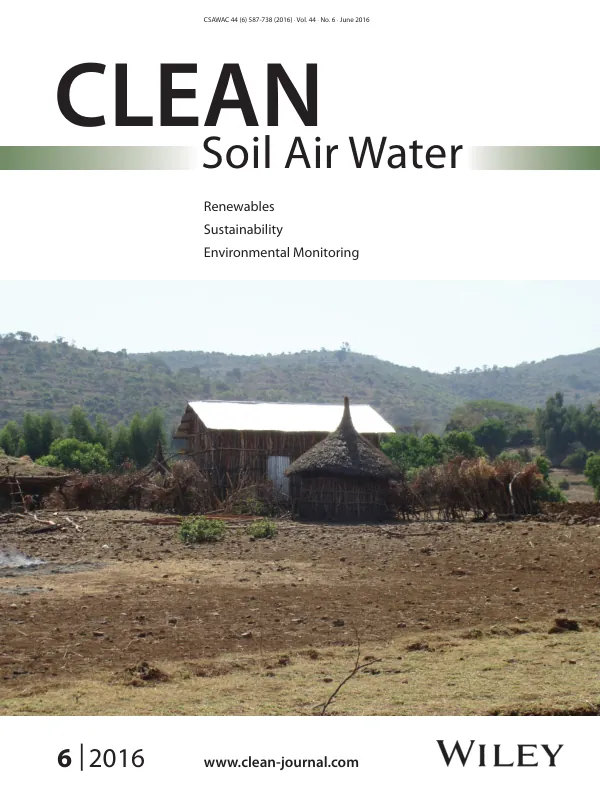
Abstract
Lake Tana, the largest lake in Ethiopia, has recently shown signs of eutrophication. Dissolved phosphorus concentration (DPC) in groundwater and soil-available phosphorus was measured at three landscape positions and discharge, sediment, and DPC at the outlet of the 7-km2 Awramba watershed. The results indicated that DPC in groundwater was most elevated in the periodically saturated valley bottoms while available P was the greatest in the cropped fields at mid-slope. The DPC increased with discharge, and during base flow, the concentration in the stream was similar to that in groundwater. The results were consistent with other hydrological watershed studies in which the major source of runoff, erosion, and phosphorus originated from valley bottom lands. Converting the periodically saturated areas in the stream corridor to buffer zones with reduced P input can be an important tool in reducing P from rural watersheds in the Ethiopian highlands. Dissolved phosphorus plays a crucial role in eutrophication of water bodies, and sources of dissolved P include urban areas, industrial waste, and intensive agriculture. To keep eutrophication levels in Lake Tana to acceptable standards, phosphorus input should be restricted. Reducing input from urban and industrial point sources is technically straightforward, but reducing non-point source input from agricultural watersheds is more cumbersome and requires a better understanding of the hydrological process. The Awramba watershed, located in the south-east of Lake Tana, was selected for its close proximity to the lake where the first signs of eutrophication have been observed. The watershed covers an area of 7 km2 and has a sub-humid monsoonal climate. The main soil type is Hapilic Luvisols, and 75% of the watershed is cropped during the rainy season. Soil and water conservation practices at the mid and upper slopes consist of stone bunds, soil bunds, and terraces. Soil samples for determining soil available phosphorus were collected from three distinct landscapes, and perched groundwater samples were collected to measure the dissolved phosphorus concentration during the 2013 rainy season.