USAID DEC
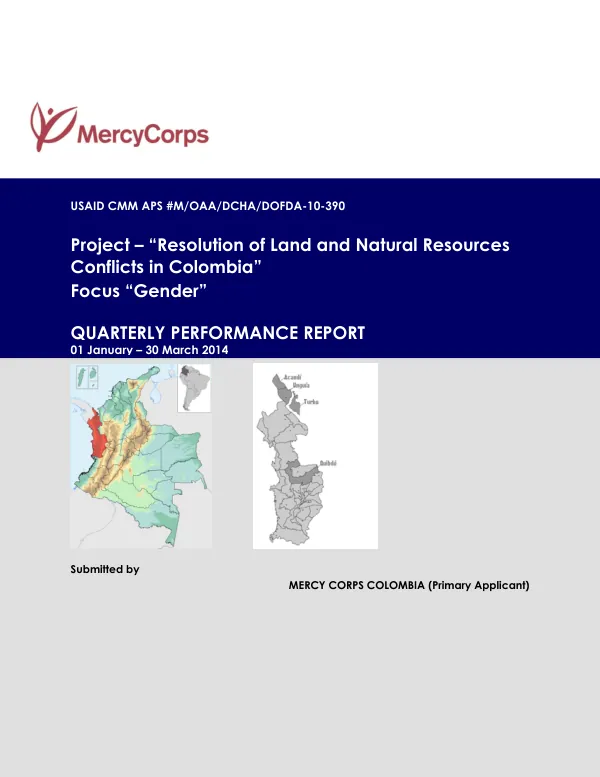
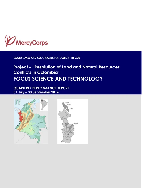
Quarterly Performance Report: Resolution of Land and Natural Resources Conflicts in Colombia
Sign inMERCY CORPS INTERNATIONAL
Quarterly Performance Report: Resolution of Land and Natural Resources Conflicts in Colombia
The Resolution of Land and Natural Resources Conflicts in Colombia project, implemented by Mercy Corps with funding from USAID's Conflict Management and Mitigation Office, aims to strengthen the capacity of community councils to use technical tools for resolving territorial conflicts.
2014 · 10 pages
Sign in to readA free account is required to download.
Abstract
The project focuses on three major community councils: COCOMAUNGUIA, COCOMACIA, and COCOMASUR, located in the municipalities of Unguia, Quibdó, and Acandí, respectively. The project's science and technology component involves training community members on the use of social cartography, digital cartography, GPS, and geographic information systems (GIS) to build sustainable technical capacity for resolving land and natural resources conflicts. The project primarily involves youth and women to promote their local leadership. Mercy Corps has implemented the Territorial and Natural Resources Conflict resolution program in Colombia since 2011, with the main objective of installing and promoting technical, methodological, and technological capacity in government and civil society actors to resolve conflicts over ownership and use of land and natural resources. During the reporting period, Mercy Corps delivered a workshop on alternative mechanisms for the resolution of territorial conflicts and the use of GPS and GIS with COCOMAUNGUIA. The workshop addressed the use of social cartography, GPS, and GIS in resolving territorial conflicts and organizing the collective territory, as well as alternative mechanisms for resolving territorial conflicts. Seven women and seven men participated in the workshop, acquiring deep knowledge of recognizing the boundaries of the collective territory, systems of measurement, and units of measurement with GPS, developing maps from GPS data, and social and digital cartography. A workshop on MARC, GPS, and SIG was scheduled for October with COCOMACIA and the gender commission. Outcome 2 of the project involves COCOMACIA implementing a pilot geo-referenced information system (SIGACIA) in resolving conflicts on the use and organization of land and natural resources in the collective territory. Mercy Corps enrolled five youth from the community councils in a course on data capture using GPS devices for geographic information systems to be held at the Geographic Institute Agustin Codazzi in Bogota. The strengthening of COCOMACIA's GIS includes the design of a graphic interface for the SIGACIA client, including layers of territorial analysis, and the design of a module for territorial risk analysis. During the reporting period, INGETEC, Mercy Corps, and COCOMACIA's commission on Territory and Autonomy undertook a functional diagnosis of the current SIGACIA, a meeting to discuss the diagnosis and definition of the design process, and the design, introduction, and familiarization of the graphic interface of the SIGACIA client. Outcome 3 of the project involves thirty Afro-descent women exchanging best technological practices on RedTierras. Activity 3.1 involves a regional exchange of experiences between Colombia and Guatemala, which has been affected by the rotation of staff in INCODER due to the presidential elections in Colombia and the appointment of INCODER leadership. Activity 3.2 involves an exchange of experiences between COCOMACIA women and Darien Community Councils, which was held in September in Titumate, Unguia, Choco. The workshop was attended by 22 persons, of which 16 were women, representing 72% of the total participants. The overall purpose of the activity was to bring the available ICT tools and applications closer to the conflict resolution processes undertaken by the Afro-Colombian communities, encouraging critical thinking by both women and men, teaching territorial planning, and promoting the participation of women in decisions on access to and use of land. Although ICT was a novelty to the community councils, the following objectives were achieved: clarification and understanding of the basic concepts of ICT and its distinction from 'communication media', 'communication scenarios', and old and new technologies, and increased awareness of the potential of ICT for conflict resolution and territorial planning.
Related documents