USAID DEC
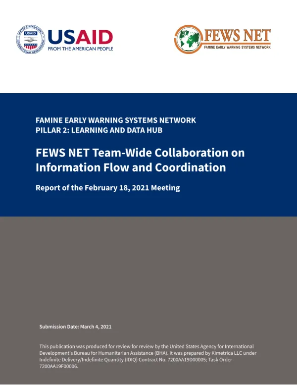
Report of the February 18, 2021 Meeting of the Famine Early Warning Systems Network (FEWS NET) Collaboration Meeting
Sign inFEWS NET
Report of the February 18, 2021 Meeting of the Famine Early Warning Systems Network (FEWS NET) Collaboration Meeting
The Famine Early Warning Systems Network (FEWS NET) Learning and Data Hub pillar is a critical component of the FEWS NET system, facilitating collaboration and information sharing among various teams.
2021 · 14 pages
Sign in to readA free account is required to download.
Abstract
The Hub team is responsible for managing and disseminating data, as well as providing technical support to the Early Warning (EW) team. Collaborative and joint work planning priorities were established during the Implementation Year (IY) 1 joint annual work planning (JAWP) process, which aimed to align shared areas of work across implementing partners. The JAWP process resulted in quarterly check-ins to evaluate progress on bilateral collaborative activities. The review began with each team providing an update on their collaborative activities, followed by a structured slideshow presenting each bilateral collaboration. The Science team reported on several collaborative activities internal to the Science team, including updates to the snow models for Afghanistan, upgrades to the Climate Hazards Group InfraRed Precipitation (CHIRP) data, and development of an agro-climatological monitoring precipitation dataset. The Science team also reported on integration of data into USGS operational processing, including the integration of CHIRPS2 and reference evapotranspiration data into the Water Requirements Satisfaction Index (WRSI) that feeds into the EW team's scenario development process and Global Dashboard for Hotspot Identification (GDHI). Collaborative activities between the EW and Science teams were divided into three sections: Routine Activities, Capacity Building, and Special Activities. The teams reported on progress to date, including the support of routine Seasonal Monitors in Africa and Central America, the publication of special reports, and the incorporation of FEWS NET mapping units into the Early Warning eXplorer (EWX) software. The teams also reported on upcoming activities, including the transition of rainfall estimates and NOAA's Global Data Assimilation System (GDAS) products to CHIRPS and Hobbins Evapotranspiration from USGS. Capacity building was a key focus area, with the teams agreeing to conduct trainings as needed. Progress to date includes completed training with staff in the Latin America and Caribbean (LAC) region, and next actions include foundational training in April with the EW team and local partners in the Democratic Republic of the Congo. The Science and EW teams also signed memorandums of understanding (MOUs) in Ethiopia and Afghanistan to formalize engagement with local partners. Collaborative activities between the Hub and EW teams were divided into four sections: Routine Reporting, Data, Automation and Visualization, and USAID Requests. The teams reported on progress to date, including the collaboration on the release of country-level Integrated Phase Classification (IPC) shapefiles and maps associated with EWT reporting in presence countries, and the introduction of the EW team's LAC regional office to Mailchimp for dissemination of public reports to local and regional partners. The teams also reported on upcoming activities, including the finalization of the release of regional reports and the development of a FEWS NET-wide Outreach Strategy. The FEWS NET system relies on collaboration and information sharing among various teams to provide timely and accurate early warning information to decision-makers. The Learning and Data Hub pillar plays a critical role in facilitating this collaboration and ensuring the effective dissemination of data and information.
Related documents