USAID DEC
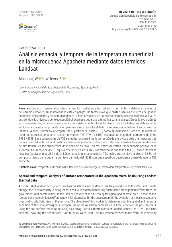
Spatial and temporal analysis of surface temperature in the Apacheta micro-basin using Landsat thermal data
Sign inUSAID DEC
Spatial and temporal analysis of surface temperature in the Apacheta micro-basin using Landsat thermal data
The microcuenca Apacheta, located in the headwaters of the Cachi basin in the district of Paras, province of Cangallo, Region Ayacucho, Peru, is a fragile ecosystem that is vulnerable to the effects of climate change.
2020 · 13 pages
Sign in to readA free account is required to download.
Abstract
The area has a total area of 14,348.21 hectares, with a minimum altitude of 4112 meters above sea level, a maximum altitude of 5045 meters above sea level, and an average altitude of 4651 meters above sea level. The microcuenca Apacheta has three distinct seasonal stages, with the rainy season characterized by high precipitation, high temperatures, and high humidity, the dry season marked by high wind speeds, low temperatures, and low humidity, and an intermediate season with high temperatures and high radiation. A total of 182 cloud-free Landsat images were selected as a representative sample, corresponding to an average of 5 to 6 images per year, covering the period from January 1985 to December 2018. The images were downloaded from the USGS Global Visualization Viewer (GloVis) and underwent radiometric and atmospheric correction using the Flaash method. The corrected images were then used to estimate the soil surface temperature (SST) using the thermal data from the Landsat TM, ETM+, and OLI sensors. The SST estimates were made from the brightness temperatures at the top of the atmosphere, considering the negligible atmospheric effect due to the high atmospheric transmissivity in the study area. The results show a positive trend of the SST with an increase of 4.9 °C, equivalent to 27.5% of the SST. Trends are higher (5.8 °C) in the snowy areas (equivalent to 35.3% of the TSS in the whole micro-basin). The SST in the snow area explains the 83.6% of the behavior of the snow cover derived by the NDSI, with a decreasing surface as SST increase. The study area has a mean annual precipitation of 71.09 mm, a maximum air temperature of 12.73 °C, a minimum air temperature of -0.35 °C, a relative humidity of 40.43%, a wind speed of 2.91 m/s, and a solar radiation of 514.43 Ly. The study aims to analyze the spatial and temporal evolution of the SST in the microcuenca Apacheta using Landsat thermal data, integrated with NDVI, soil emissivity, and vegetation cover fraction. The results of this study will provide valuable information for understanding the impact of climate change on the fragile ecosystems of the Andes. The study area is characterized by a high degree of variability in terms of temperature, precipitation, and vegetation cover. The SST in the study area shows a positive trend, with an increase of 4.9 °C over the past 34 years. The trends are higher in the snowy areas, with an increase of 5.8 °C, equivalent to 35.3% of the TSS in the whole micro-basin. The SST in the snow area explains the 83.6% of the behavior of the snow cover derived by the NDSI, with a decreasing surface as SST increase. The study highlights the importance of using remote sensing techniques to monitor the evolution of fragile ecosystems such as the microcuenca Apacheta. The results of this study will provide valuable information for understanding the impact of climate change on the Andean ecosystems and will contribute to the development of strategies for sustainable management of these ecosystems.
Related documents