GEORGE WASHINGTON UNIVERSITY CIBER
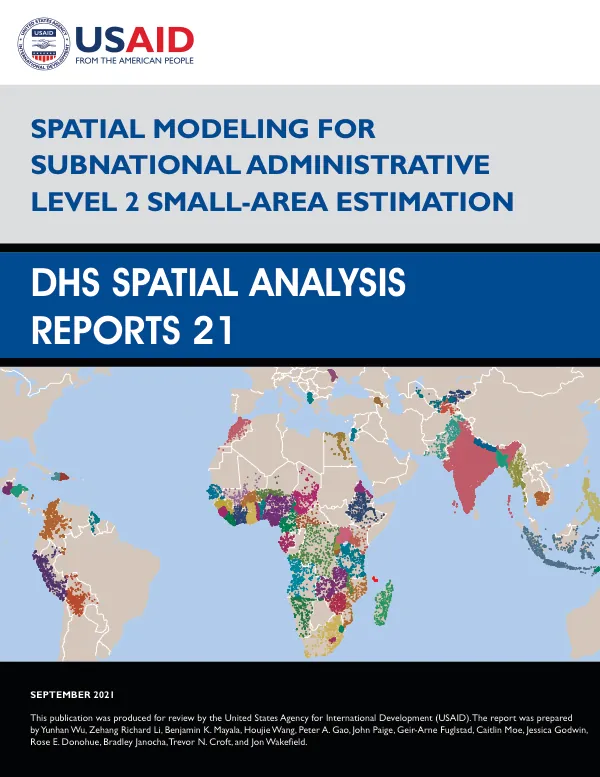
Spatial Modeling for Subnational Administrative Level 2 Small-Area Estimation
Spatial Modeling for Subnational Administrative Level 2 Small-Area Estimation is a report that focuses on the development of spatial models for estimating mortality rates in subnational administrative areas.
2021 · 62 pages
Sign in to readA free account is required to download.
Abstract
The study was conducted by a team of researchers from various institutions, including the University of Washington and ICF International. The report aims to provide a framework for estimating mortality rates in subnational administrative areas, which are typically defined as Level 2 areas. The researchers used data from eight countries, including Cameroon, Kenya, and Nigeria, and applied various spatial models to estimate mortality rates. The study employed a range of spatial models, including area-level models, space-time models, and cluster-level models. The area-level models were used to estimate mortality rates at the Level 1 level, while the space-time models were used to estimate mortality rates at the Level 2 level. The cluster-level models were used to estimate mortality rates at the Level 2 level, taking into account the spatial autocorrelation between clusters. The researchers also developed a software package called Summer, which is designed to facilitate the implementation of the spatial models. The software package includes a range of tools for data preparation, model specification, and model estimation. The study found that the spatial models performed well in estimating mortality rates, particularly at the Level 2 level. The researchers also found that the models were able to capture the spatial autocorrelation between clusters, which is an important aspect of mortality rates. The study's findings have implications for public health policy and programming. The researchers suggest that the spatial models can be used to identify areas with high mortality rates, which can inform the allocation of resources and the development of targeted interventions. The study's results are presented in a range of tables and figures, including tables of mortality rates, figures of hazard rates, and maps of mortality rates. The researchers also provide a range of recommendations for future research, including the development of more sophisticated spatial models and the application of the models to other health outcomes. The study was funded by the United States Agency for International Development (USAID) through The DHS Program. The researchers acknowledge the support of various individuals and institutions, including Emanuele Giorgi, Peter J. Diggle, and David Kline. The report is organized into seven chapters, including an introduction, background and objectives, area-level models, cluster-level models, additional considerations, the Summer software, and U5MR modeling in eight countries. The report also includes a range of appendices, including tables of numbers of admin 1 and admin 2 areas, tables of spread of admin 1 estimates, and figures of hazard rates. The study was conducted by a team of researchers from various institutions, including the University of Washington and ICF International. The researchers used data from eight countries, including Cameroon, Kenya, and Nigeria, and applied various spatial models to estimate mortality rates. The study's findings have implications for public health policy and programming, particularly in low- and middle-income countries. The researchers suggest that the spatial models can be used to identify areas with high mortality