USAID
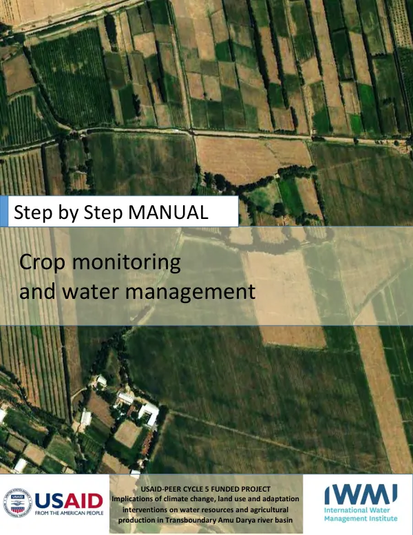
Step by Step MANUAL: Crop monitoring and water management
Crop monitoring and water management are critical components of sustainable agricultural practices, particularly in regions prone to climate change and water scarcity.
12 pages
Sign in to readA free account is required to download.
Abstract
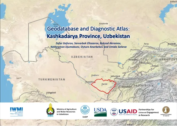
The USAID-PEER Cycle 5 funded project, "Implications of climate change, land use, and adaptation interventions on water resources and agricultural production in the Transboundary Amu Darya river basin," aimed to address these challenges. The project focused on the Amu Darya river basin, a transboundary region shared by Uzbekistan, Turkmenistan, Afghanistan, and Iran. The basin is characterized by a semi-arid climate, limited water resources, and intensive agricultural practices, making it vulnerable to climate change impacts. The project's objectives were to identify the implications of climate change on water resources and agricultural production, and to develop adaptation interventions to mitigate these impacts. The project employed a range of methods, including remote sensing and geographic information systems (GIS), to monitor crop health and water resources. The International Water Management Institute (IWMI) and the Central Asia Office of IWMI collaborated with the USAID-PEER program to develop a "Step by Step MANUAL: Crop monitoring and water management" to provide operational guidance on using Google Earth Engine and Climate Engine platforms. The manual provides step-by-step instructions on how to assess crop monitoring and water resources management using these platforms. The Google Earth Engine platform allows users to work with retro images and translate raw satellite measurements into meaningful information and maps of earth's objects. Climate Engine enables users to quickly process and visualize satellite earth observations and gridded weather data for environmental monitoring and early warning of drought, wildfire, and crop-failure risk. The manual outlines the process of accessing the Java API of Google Earth Engine, creating a new file, and developing a code to assess the Landsat 8 dataset and filter the interested time period and area. The user is then guided through the process of choosing images, calculating NDVI for each image, and merging NDVI images to receive cotton areas. The classification results can be exported in raster format to Google Drive. The Climate Engine platform is used to monitor crop health and water resources using satellite imagery. The user is guided through the process of visiting the Climate Engine website, finding the area of interest, setting data sources and settings, and extracting NDVI images in tif file format or pdf report format. The user can also produce time series graphs of NDVI values. The project's findings and recommendations are expected to inform policy and decision-making in the Amu Darya river basin, and to contribute to the development of sustainable agricultural practices in the region. The "Step by Step MANUAL: Crop monitoring and water management" provides a valuable resource for practitioners and researchers working in the field of crop monitoring and water resources management.