USAID
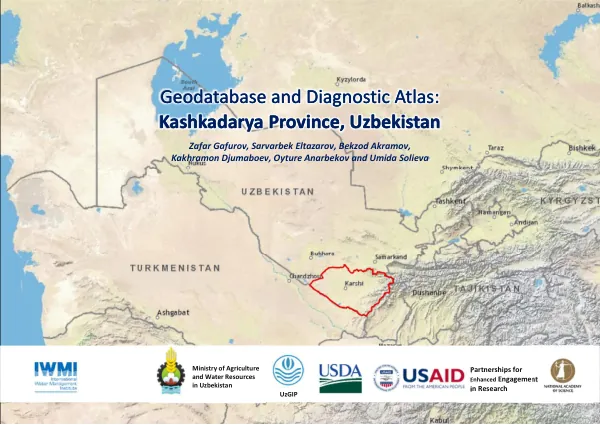
Geodatabase and Diagnostic Atlas: Kashkadarya Province, Uzbekistan
The Partnerships for Enhanced Engagement in Research (PEER) program is a competitive awards program that invites scientists in developing countries to apply for funds to support research and capacity-building activities on topics of importance to the United States Agency for International Development (USAID).
2018 · 74 pages
Sign in to readA free account is required to download.
Abstract
The program is supported by USAID but implemented by the U.S. National Academies of Sciences, Engineering, and Medicine. Through PEER, the U.S. Global Development Lab leverages investments by other U.S. Government-supported agencies and private sector companies in scientific research and training to enhance the development priorities of USAID. The International Water Management Institute (IWMI) is a non-profit, scientific research organization focusing on the sustainable use of water and land resources in developing countries. IWMI works in partnership with governments, civil society, and the private sector to develop scalable agricultural water management solutions that have a real impact on poverty reduction, food security, and ecosystem health. IWMI is a CGIAR Research Center and leads the CGIAR Research Program on Water, Land, and Ecosystems (WLE). The geodatabase and digital diagnostic atlas for Kashkadarya Province, Uzbekistan, were generated within the framework of the USAID PEER Cycle 4 project "Mitigating the competition for water in Amudarya River basin, Central Asia by improving water use efficiency." The project is implemented by IWMI in collaboration with USDA-ARS, UZGIP (Uzbekistan), and Sogd Water Authority (Tajikistan). The project aims to evaluate the potential for improving water-use efficiency by mitigating measures for water and energy use in the Amu Darya and Syr Darya river basins. The geodatabase consists of various input data obtained from open domains of several government and non-government organizations, which are presented through visually appealing maps and other visually informative forms to show the spatial and temporal distribution of water and land resources and the way they are used. The geodatabase was created using open source GIS, Remote Sensing, and local analogue information, some of which has been published by world-renowned organizations and used in public projects and scientific research certified by international agencies. The geodatabase can be obtained in digital form for use by external parties with the approval of IWMI. The data sources used to create the geodatabase include IWMI, NASA LP DAAC, ICARDA, UZSTAT, ESA, WCRP, CMIP, MAWR, and "UzGIP" Design and Research Institute. The map projection and coordinate system used in the geodatabase are WG 1984 World Mercator. The main objective of the geodatabase development was to convert raw data into maps, charts, and infographics for visual interpretation of water and land resources in the province in a consolidated form. The authors hope that it can be used as a tool to inform management practices and support decision making at the local, national, and regional levels.