USAID DEC
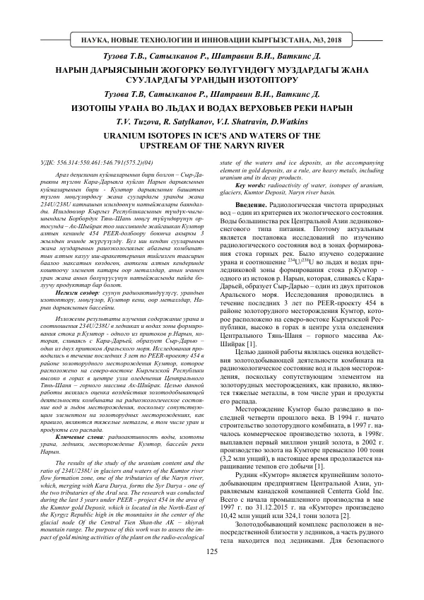
Transformation of Objects of Radiogeology of Hydrospere of Kyrgyzstan and Central Asian Regions
Sign inUSAID DEC
Transformation of Objects of Radiogeology of Hydrospere of Kyrgyzstan and Central Asian Regions
The Kyrgyz Republic is a tectonically and seismically active mountainous country.
2018 · 4 pages
Sign in to readA free account is required to download.
Abstract
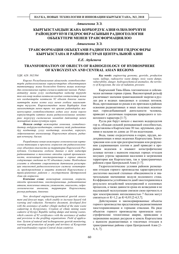
The high-altitude terrain increases the values of gravitational energy in river flows and water flood and mudflow streams. Water flowing through rivers and their tributaries in areas of radioactive and other mineral deposits poses various georisks of natural and technogenic character. There are 30,000 large, medium, and small rivers in Kyrgyzstan, with a strong erosive capacity. Water is also concentrated in lakes, reservoirs, and other water bodies in the country. Earthquakes or landslides caused by the destruction of retaining dams and dikes lead to the release of water from reservoirs and trigger catastrophic mudflows, carrying hazardous mining waste and posing a threat to the population and territory of Kyrgyzstan and transboundary regions of Central Asian countries. Hydrogeological conditions in areas of mining waste disposal are characterized by a high degree of water saturation and significant values of underground water flow. The stability of tailings dams has decreased due to the effects of earthquakes and landslides, as well as the age of the dams and inadequate operation, resulting in a decrease in their strength from K=1.2 to K=0.93. Existing and abandoned mining facilities are represented by radioactive tailings and mining waste dumps. Several mining facilities have experienced catastrophic technogenic accidents, leading to the pollution of water resources and land in Kyrgyzstan and the release of radioactive and toxic waste into transboundary regions of Central Asian countries. The impact of significant and strong earthquakes, as well as heavy rainfall on December 9-14, 1958, resulted in the destruction of the dam of tailings dump No. 7, where a radioactive mudflow of 600,000 cubic meters was released along the river and floodplain of the Mayluu-Suu River, affecting the territory of Kyrgyzstan and further into the transboundary regions of Uzbekistan. The creation of a new engineering-geonomical georisk assessment and forecast map, which enables the increase of hazard risk warning and reduction, is a priority. The development of a normative document, "Single method of the state waste cadastre in Kyrgyzstan," with the assistance of the author, is a significant step in this direction. The creation of the "State mining waste cadastre of the Kyrgyz Republic, tailing dumps and mining wastes, which consists of 92 certificates," with the assistance of the author and provision to profiling organizations, is also an important achievement. The territory of Kyrgyzstan and transboundary regions of Central Asian countries are at risk of georisks due to the presence of mining waste and radioactive tailings. The development of a system of natural and technogeneous georisk monitoring, warning, and protection of people and territory is essential. The key words for this system are engineering geonomy, georisks, production waste, tailings, radioactive waste dumps, toxic waste dumps, vulnerability, danger, hydrogeochemical anomalies, the territory of Kyrgyzstan, the size of radiation, and pressure. Existing and abandoned mining facilities are represented by radioactive tailings and mining waste dumps. Several mining facilities have experienced catastrophic technogenic accidents, leading to the pollution of water resources and land in