USAID DEC
USAID/Albania Planning and Local Governance Project: Utilizing GIS to Support Municipal Tax Collection
Sign inTETRA TECH
USAID/Albania Planning and Local Governance Project: Utilizing GIS to Support Municipal Tax Collection
The Planning and Local Governance Project (PLGP) in Albania aimed to improve municipal tax collection and administration through the utilization of geographic information systems (GIS).
2015 · 24 pages
Sign in to readA free account is required to download.
Abstract
The project focused on increasing the scale and effectiveness of municipal own-source revenues by operationalizing GIS tools to facilitate property tax collection and administration. Property tax is a critical source of revenue for Albanian municipal governments, but current systems for tax collection and administration are in need of improvement. The current legal framework for property taxation in Albania is comprised of two official data sources: Immovable Property Registration Office (IPRO) and ALUIZNI. IPRO is the official source for property tax in Albania, but its data is incomplete, out-of-date, and not accessible to municipalities. ALUIZNI is the legalization and formalization process for informal buildings, which will legalize an estimated half million buildings by the end of 2017. To create a functional municipal tax register, municipalities must first build a complete tax register, or property register, to understand who taxpayers are and where they are located. Essential in this process is the need to create an actionable addressing system. Korça and Fier have utilized GIS tools to create a property inventory, providing valuable lessons learned and best practices for other municipalities. The Law on Territorial Planning and Development mandates an "integrated territory register," which provides registration of physical and legal information, and public and private rights or restrictions to land. The territory register consists of GIS databases managed by planning authorities and public institutions at the national and local level. The project drew upon the experiences of Fier and Korça to provide an overview of how GIS tools can be utilized to establish a functional municipal tax register. Recommendations were provided for municipalities by evaluating their current status and recommending next steps. The report consisted of four main sections: Section 1.0 examined the legal framework for property tax in Albania from a GIS perspective, Section 2.0 drew upon the experiences of Fier and Korça, Section 3.0 provided recommendations for municipalities, and Section 4.0 gave general next steps for completing the work. The project aimed to enable municipalities to operationalize GIS tools to facilitate property tax collection and administration through the construction of a functional tax register. Utilizing GIS tools to create a functional tax register will provide municipalities with a critical first step in the tax cycle, enabling each municipality to invoice its tax base. Property tax is based upon geographic features that exist on the earth's surface, and thus can be mapped in a GIS. Using GIS for property tax purposes allows municipalities to collect data about what exists on the ground, manage spatially referenced data in a database, and then utilize this information for analysis, reporting, transparency, and decision-making. The project's recommendations focused on short-term actions to create a functional municipal tax register utilizing GIS tools. The goal of any property tax register should eventually integrate IPRO data, but the recommendations in this report focused on immediate actions to create a functional municipal tax register. The project's findings and recommendations provided feasible, practical steps that will enable municipalities to operationalize GIS tools to facilitate property tax collection and administration.
Related documents
Documents in this collection
 2020
2020USAID DEC
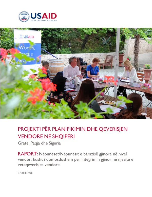
Projekti për Planifikimin dhe Qeverisjen Vendore në Shqipëri: Gratë, Paqja dhe Siguria: Raport: Nëpunëset/Nëpunësit e Barazisë Gjinore në nivel Vendor
Open record 2019
2019USAID DEC