TETRA TECH
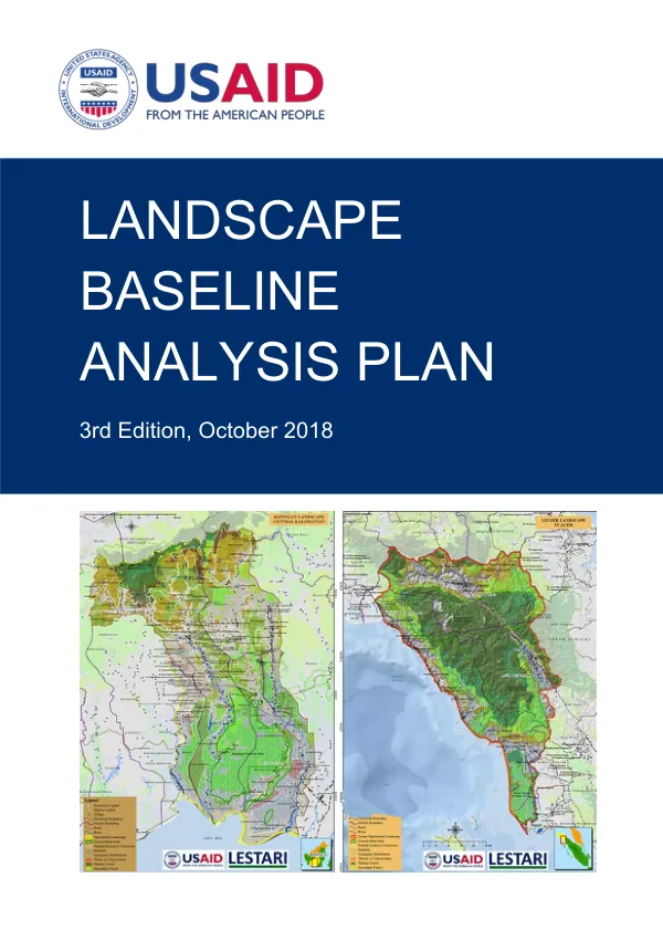
USAID LESTARI Landscape Baseline Analysis Plan, 3rd Edition
The LESTARI Landscape Baseline Analysis Plan is a comprehensive document that outlines the landscape baseline analysis for six landscapes in Indonesia.
2018 · 94 pages
Sign in to readA free account is required to download.
Abstract
The plan was prepared by Tetra Tech for the LESTARI Task Order and is supported by the United States Agency for International Development (USAID). The document begins by defining landscape terms and delineating value and operational landscapes. The LESTARI landscapes include the Leuser Landscape in Aceh Province, the Katingan-Kahayan Landscape, the Lorentz Lowlands Landscape, the Mappi-Bouven Digoel Landscape, the Sarmi Landscape, and the Cyclops Landscape. The baseline deforestation and greenhouse gas (GHG) emissions analysis is a critical component of the plan. The document revises the baseline methodology and provides source data and emission factors for the analysis. The results of the forest reference emission level (FREL) for the LESTARI landscapes are also presented, showing the current state of deforestation and GHG emissions in each landscape. The plan also includes individual landscape baseline analysis and key mitigation activities for each of the six landscapes. The analysis provides a detailed examination of the current state of deforestation and forest degradation in each landscape, as well as the opportunities for mitigation and conservation. The LESTARI landscapes are characterized by high levels of deforestation and forest degradation, with significant impacts on biodiversity and ecosystem services. The plan highlights the need for urgent action to address these issues and to develop effective conservation and mitigation strategies. The document includes a range of spatial illustrations and maps that show the extent of deforestation and forest degradation in each landscape, as well as the current forestry spatial plans for each province. These maps provide a visual representation of the data and help to illustrate the scale and complexity of the issues. The plan concludes with a discussion of opportunities for improvement and a bibliography of relevant sources. The document is a valuable resource for policymakers, conservationists, and researchers working to address the challenges of deforestation and forest degradation in Indonesia. The LESTARI landscapes are critical ecosystems that provide a range of ecosystem services, including carbon sequestration, water filtration, and habitat for biodiversity. The plan highlights the need for effective conservation and mitigation strategies to protect these ecosystems and to address the impacts of deforestation and forest degradation. The document provides a comprehensive analysis of the current state of deforestation and forest degradation in the LESTARI landscapes, as well as the opportunities for mitigation and conservation. The plan is a critical resource for policymakers, conservationists, and researchers working to address the challenges of deforestation and forest degradation in Indonesia.