USAID DEC
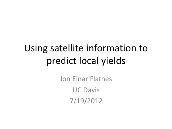
Using satellite information to predict local yields Tanzania yield survey
The agricultural yield prediction initiative in Tanzania utilized satellite information to forecast local yields.
2012 · 12 pages
Sign in to readA free account is required to download.
Abstract
Historic yield data was collected from farmers based on recall, covering 397 paddy plots in 10 villages within the study region. The data spanned 3-5 years and included yield per acre, fertilizer use, start and end of season, and weather events such as droughts and floods. Farmers also indicated the approximate location of their plots on a satellite map. Satellite data was used to survey all areas used for paddy production using GPS. The boundaries of all paddy field areas were walked around with a local farmer, and GPS coordinates were recorded. This information was used in conjunction with crop yield data collected by the Tegemeo Institute and Michigan State University (MSU) as part of a multi-year household survey. The TAPRA data sample consisted of 1309 households across 24 districts in Kenya, with survey data available for years 1997, 2000, 2004, 2007, and 2010. Satellite NDVI (Normalized Difference Vegetation Index) data was also used to identify crop areas and predict yields. The data was collected at four different times: pre-planting, mid-season, prior to harvest, and post-harvest. The average NDVI across 16 pixels known to contain paddy fields was calculated over time, showing a gradual increase from 0.50 to 0.80. The maximum NDVI during the main paddy season was also recorded, with a peak of 0.80. The NDVI profile for paddy throughout the main season was identified, with a gradual increase from 0.20 to 0.80. This information was used to create satellite maps of areas around Ndungu, including NDVI maps of the same area right before harvest and mid-season. The data was used to identify crop areas and predict yields, providing valuable insights for agricultural development initiatives in the region. The study region's geographic focus was on Tanzania, with a specific emphasis on the paddy production areas. The timeframes for the study included data from 1997 to 2012, with a focus on the 2011-2012 growing season. The recommendations from the study included the use of satellite data to identify crop areas and predict yields, as well as the importance of collecting historic yield data from farmers to inform agricultural development initiatives.