USAID DEC
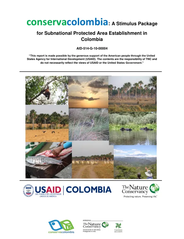
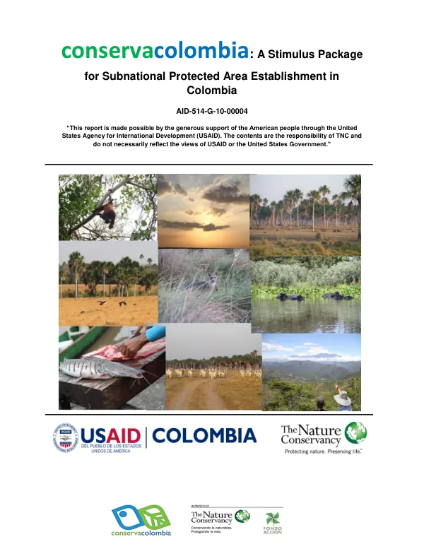
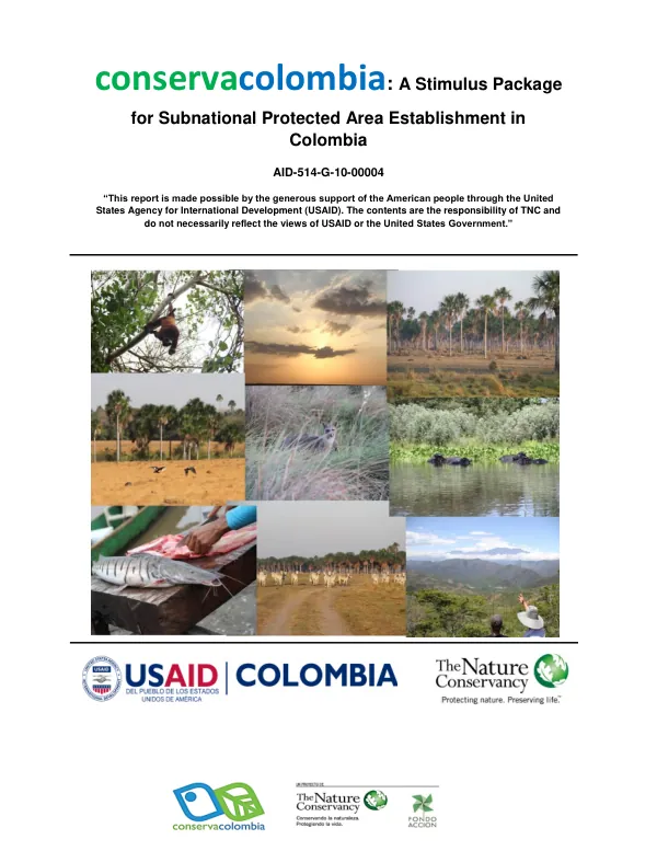
Conservacolombia: A Stimulus Package for Subnational Protected Area Establishment in Colombia
Sign inTHE NATURE CONSERVANCY
Conservacolombia: A Stimulus Package for Subnational Protected Area Establishment in Colombia
The Bosque seco Tropical, a tropical dry forest formation, covers approximately 50% of the forested areas in Central America and 22% in South America.
2011 · 165 pages
Sign in to readA free account is required to download.
Abstract
In Colombia, it is distributed in the Caribbean lowlands and inter-Andean valleys between 0 and 1000 meters of altitude, and in the jurisdictions of the departments of Valle del Cauca, Tolima, Huila, Cundinamarca, Antioquia, Sucre, Bolívar, Córdoba, Cesar, Magdalena, Atlántico, and the southern part of La Guajira. The region with the greatest coverage of Bosque seco Tropical in Colombia is the Caribbean lowlands, but it is one of the most degraded and fragmented ecosystems in the country, with only about 1.5% of its original coverage of 80,000 km2 remaining. The department of Atlántico, in its entirety, does not have areas of special management within the categories of the National Parks System, which are legally regulated and/or administered. However, there are areas of Bosque seco Tropical reserve established by the former INCORA, which have been studied within the framework of the program of protected areas of the Autonomous Regional Corporation of Atlántico (CRA), to promote the identification of potential protected areas, through the project: "Identification, characterization, and spatialization of potential protected areas in the department of Atlántico, as a basis for the declaration of at least one protected area, the construction of territory, and the contribution to the consolidation of the Regional System of Protected Areas - SIRAP CARIBE". As a result of this process, the CRA has identified 15 strategic areas for biodiversity conservation in Atlántico, which total 4064 ha, corresponding to 1.21% of the department's total extension. The CRA aims to achieve the following objectives in these conservation areas: protect the remnants of Bosque seco Tropical, protect the habitat of endangered species, protect the cultural and archaeological heritage, establish sustainable management of natural resources, and locate and protect biological corridors. In this process, five priority areas for conservation were identified in the municipality of Piojó for their biological importance, scenic beauty, and refuge for priority species such as potential conservation objects: Cerro la Vieja, the El Palomar farm, Guaibaná, Las Mercedes, and La Unión. The municipality of Piojó is located between 10°45' of latitude North and 75°21' of longitude West, in the center-west of the department of Atlántico, on the large coastal plain of the Caribbean Colombian. It has a surface area of 252.4 km2, equivalent to 8.7% of the department's total extension. It borders the municipality of Juan de Acosta and the Caribbean Sea to the north, the municipality of Luruaco to the south, the municipalities of Usiacurí and Sabanalarga to the east, and the department of Bolívar to the west. It is located within the Montes de María and Piojó biogeographic district and the Cinturón Árido Precaribeño biogeographic province. It belongs to the coastal area of the department of Atlántico, which includes the drainage area of the streams that flow from the hills of the west-northwest and their extensions to the north, with the main streams being Cascabel, Juan de Acosta, and Piedras. In the municipality of Piojó, two distinct geomorphological landscapes can be distinguished, with a central line of the Romeral fault: one mountainous with a greater slope and one flat. Following this configuration, a physical medium is observed that evolves from humid to less humid and dry areas with a tendency towards aridity, where the most conserved areas of forest are found in the areas with greater slope, in transition towards Subxerofitia Hidrotropofítica Caducifolia (BTSHC), characterized by the presence of xerophilous plants associated with thorny shrubs and typical species of dry forest.