USAID DEC
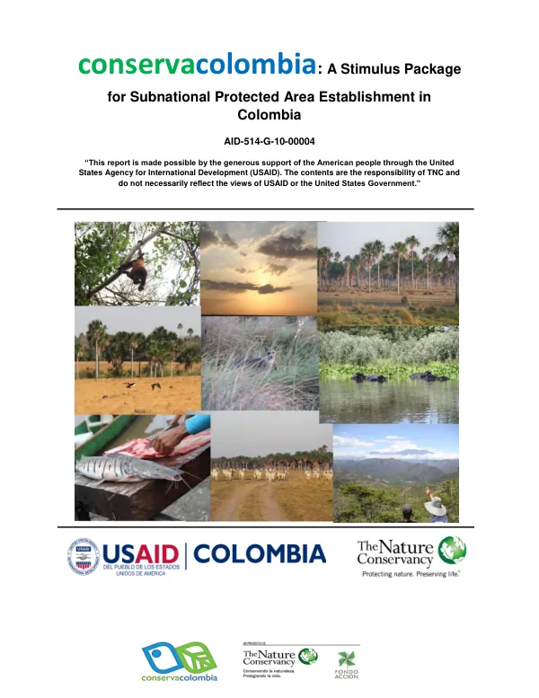
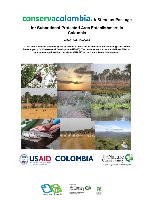
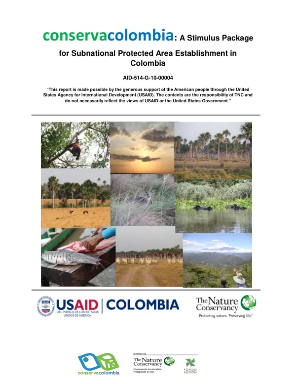
Conservacolombia: A Stimulus Package for Subnational Protected Area Establishment in Colombia
Sign inFONDO ACCIÓN
Conservacolombia: A Stimulus Package for Subnational Protected Area Establishment in Colombia
The Reserva Natural de la Sociedad Civil Rancho Paravare is a protected area located in the Department of Casanare, Municipio of Orocué, Colombia.
2014 · 5 pages
Sign in to readA free account is required to download.
Abstract
The reserve spans an area of 502.8 hectares, defined by the boundaries of the "Rancho Paravare II" property, which was registered as a natural reserve by the Ministry of Environment and Sustainable Development through Resolution No. 0133 on November 12, 2014. The reserve is situated between the geographical coordinates of 4° 52'40'' and 4° 54'3'' North latitude and 71° 10'0'' and 71° 11'30'' West longitude. The reserve's zoning is divided into four areas: agrosystems, amortiguación, conservation, and intensive use and infrastructure. The conservation zone, covering 49.86% of the total area, comprises the forested riverbanks of the Paravare stream and floodable savannas. The amortiguación zone, accounting for 3.79% of the total area, is a narrow strip bordering the conservation and intensive use zones. The agrosystems zone, covering 40.32% of the total area, is designated for extensive cattle grazing, characteristic of the Llanos inundables region. The intensive use zone, covering 6.03% of the total area, includes residential areas, barns, and corrals for livestock management. The plan of management for the reserve provides further information on the permitted uses in each zone. The reserve's location in the Llanos inundables region presents unique challenges and opportunities for conservation and sustainable land use. The reserve's zoning and management plan aim to balance the needs of local communities with the conservation of natural resources and biodiversity. The reserve's establishment is a significant step towards protecting the region's natural heritage and promoting sustainable development.