FUTURES GROUP INTERNATIONAL, LLC
Excel to Google Earth (E2G) 3.0 Tutorial
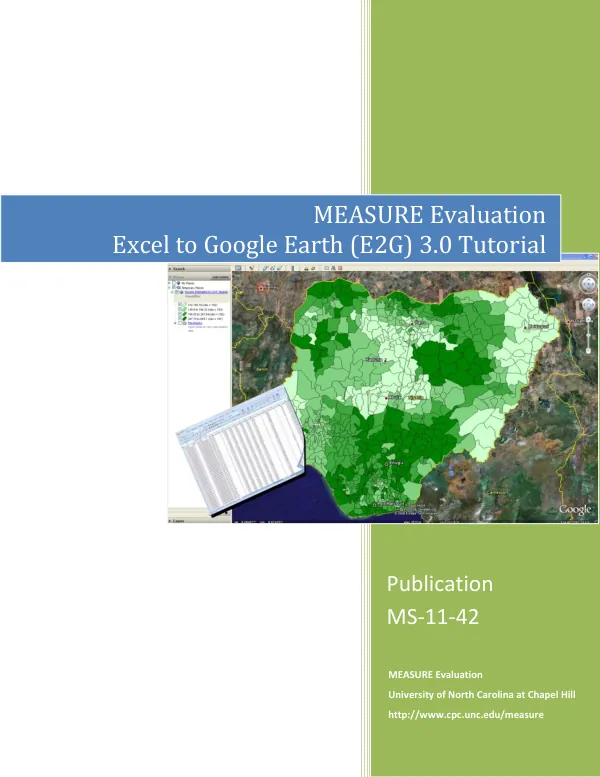
The Excel to Google Earth (E2G) 3.0 mapping tool is a software application designed to help users create geographic maps from Excel spreadsheet data.
2014 · 45 pages
Sign in to readA free account is required to download.
Abstract
The tool requires Windows 7, Vista, or XP, Excel 2010 or 2007, and Google Earth version 7 or 6. Google Earth is a free virtual earth viewer available for download from the Google website. The E2G tool is available for free from the MEASURE Evaluation website and can be used to class and display geographic data from any Excel spreadsheet as an overlay in Google Earth. The tool works in English or French and requires that the data to be mapped be available at the sub-country level, by administrative unit. Basic sub-country administrative boundaries for 50 different countries are provided on the MEASURE Evaluation website, and other boundaries can be added by the user using a shapefile. The installation process for the E2G tool is a two-step process. First, the user must run the self-extracting zip file measure_e2g.exe and place the resulting macro folder on a local drive. Second, the user must run the self-extracting zip file with the 3-letter ISO abbreviation for the country name and place the resulting folder into the coordinates folder. The user must also enable the VBA macro in Excel to use the tool for the first time. The E2G tool has several key features, including the ability to select a country, select a worksheet to map, select a field containing unique identifiers, and select a variable to map. The tool also allows users to select the type of classes for data, the number of classes, and the colors to use. Users can also export and print their maps, and convert their own boundary files for use with the tool. The E2G tool is designed for use by one person at a time working on a desktop or portable computer. Installing the program on a network drive for simultaneous access by multiple users is not recommended, as it could result in file access conflicts. The installation path should not contain any spaces, and installation will require use of the default zip utility that came with the user's copy of Windows. The MEASURE Evaluation team acknowledges the work of James Stewart, Becky Wilkes, and John Spencer in developing the E2G tool, as well as the valuable feedback provided by the staff of the Spatial Analysis Unit at the Carolina Population Center at the University of North Carolina at Chapel Hill. The tool is funded by the U.S. Agency for International Development (USAID) and is implemented by the Carolina Population Center at the University of North Carolina at Chapel Hill, in partnership with several other organizations.