USAID DEC
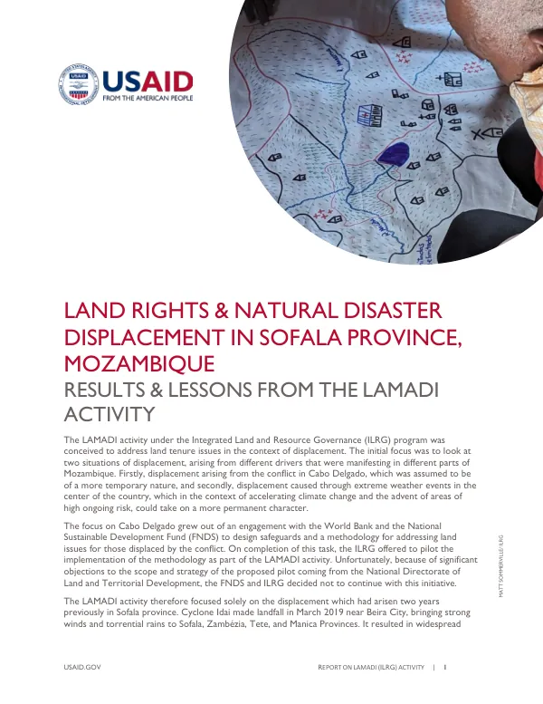
Final Report: LAND RIGHTS & NATURAL DISASTER DISPLACEMENT IN SOFALA PROVINCE, MOZAMBIQUE
Sign inTETRA TECH
Final Report: LAND RIGHTS & NATURAL DISASTER DISPLACEMENT IN SOFALA PROVINCE, MOZAMBIQUE
The LAMADI activity under the Integrated Land and Resource Governance (ILRG) program aimed to address land tenure issues in the context of displacement.
2023 · 19 pages
Sign in to readA free account is required to download.
Abstract
The initial focus was on two situations of displacement in Mozambique, arising from different drivers: conflict in Cabo Delgado and extreme weather events in the center of the country. However, due to significant objections from the National Directorate of Land and Territorial Development, the ILRG decided not to continue with the pilot initiative in Cabo Delgado. The LAMADI activity therefore focused solely on the displacement caused by Cyclone Idai in Sofala province in March 2019. The cyclone resulted in widespread flooding and caused significant and ongoing displacement, with approximately 94,000 people displaced from their places of origin to resettlement areas across Nhamatanda, Buzi, and Dondo Districts. The main objective of the LAMADI activity was to increase the capacity of decentralized authorities to plan for, manage, facilitate, and/or mitigate land-related issues, through community delimitation and land use planning, with a special focus on communities that receive people displaced by weather events. Specific objectives included piloting tools for risk and vulnerability mapping, identifying the best ways to help resolve ongoing constraints faced by displaced populations in respect to land tenure and land access, building local capacities in the use of data, tools, and methodologies for land administration, and identifying current elements of the Land Law that already support land tenure and land access in the context of displacement. The LAMADI activity area covered the districts of Nhamatanda and Buzi in the central province of Sofala. The activity was implemented between July 2022 and October 2023. Hazard/risk mapping was conducted using a multicriteria methodology, combining cadastral information, hazard and exposure data, and land rights data. The resulting maps showed a high level of coincidence with the actual impacts of Cyclone Idai. New community land associations were established in each target host community, following the processes of Law 2/2006. The associations were established to represent the host communities as entities and to guide the subsequent activities related to community land delimitation, zoning, and community land use planning. The LAMADI service provider undertook the training of founding association members on institutional issues, legal issues, and the process of land delimitation. The Community Land Value Chain (CaVaTeCo) Platform was used to track the training and establishment meetings in each community, allowing stakeholders to assess the level of engagement in the process. The CaVaTeCo Portal/Platform allowed for a consistent approach to gathering the materials and evidence required to form associations, document boundaries, meetings, and processes.