USAID DEC
Geographic information system for improving maternal and newborn health: recommendations for policy and programs
Sign inSAVE THE CHILDREN FUND
Geographic information system for improving maternal and newborn health: recommendations for policy and programs
The use of Geographic Information System (GIS) for improving maternal and newborn health is a critical component of efforts to end preventable maternal and newborn mortality.
2017 · 7 pages
Sign in to readA free account is required to download.
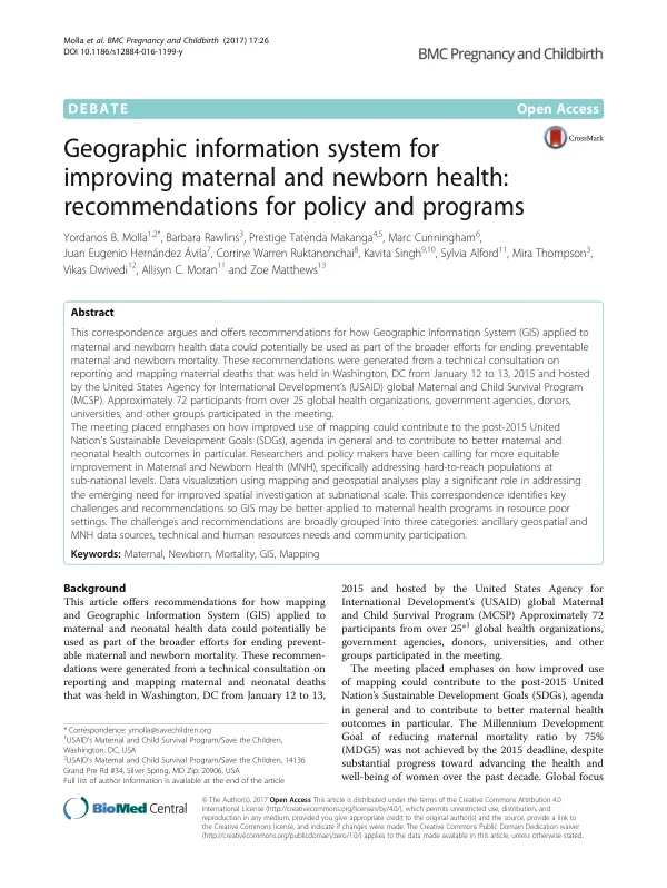
Abstract
A technical consultation on reporting and mapping maternal and neonatal deaths was held in Washington, DC from January 12 to 13, 2015, hosted by the United States Agency for International Development's (USAID) global Maternal and Child Survival Program (MCSP). Approximately 72 participants from over 25 global health organizations, government agencies, donors, universities, and other groups participated in the meeting. The meeting emphasized the potential of improved mapping to contribute to the post-2015 United Nation's Sustainable Development Goals (SDGs) agenda, particularly in improving maternal health outcomes. The Millennium Development Goal of reducing maternal mortality ratio by 75% (MDG5) was not achieved by the 2015 deadline, despite substantial progress toward advancing the health and well-being of women over the past decade. Global focus has now shifted to achieving the SDGs, which propose to improve maternal health and reduce mortality to less than 70 per 100,000 live births by 2030, and reduce neonatal mortality to at least 12 per 1,000 live births in 2030. Data visualization using mapping and geospatial analyses play a significant role in addressing the emerging need for improved spatial investigation at subnational scale. This can be achieved through mapping key maternal and newborn health service provision indicators, analyzing geographic access to maternal and newborn health services, and modeling potential actions to identify how best to increase access to maternal and neonatal health services. The challenges and recommendations for applying GIS to maternal health programs in resource-poor settings can be broadly grouped into three categories: ancillary geospatial and maternal and newborn health data sources, technical and human resources needs, and community participation. Accurate, up-to-date, and reliable geospatial data, including both ancillary geospatial data and health data, are critical to any geospatial enquiries at national or subnational level. Ancillary data includes population estimates, subnational boundaries, roads, and rivers, while health data can be separated into non-routine data from surveys and routine data from health information systems, health facility registries, maternal death surveillance and response systems, and vital registry systems. The DIVA-GIS project is a commonly used, consolidated source of country-level and global ancillary data that is freely available. The WorldPop project also provides high-resolution data on human population distributions for countries in Africa, Asia, and Central and South America. Non-routine survey data, such as from the Demographic and Health Surveys (DHS), provide a rapid entry into the use of GIS for maternal and newborn health. DHS data provides users with a readily accessible, freely available source of geo-located household and facility-based surveys that can be used to model an array of maternal and newborn health outcomes, both within and across countries. However, recent critical appraisals have identified common inconsistencies in DHS data, such as the definition of skilled birth attendants, and challenges inherent to administering the survey across low- and middle-income countries.