USAID DEC
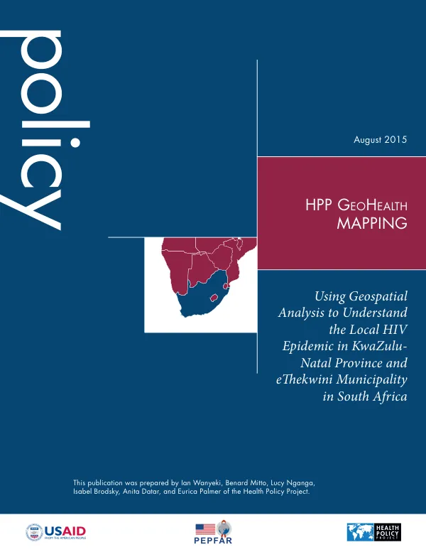
HPP GeoHealth Mapping: Using Geospatial Analysis to Understand the Local HIV Epidemic in KwaZulu-Natal Province and eThekwini Municipality in South Africa
Sign inFUTURES GROUP INTERNATIONAL, LLC
HPP GeoHealth Mapping: Using Geospatial Analysis to Understand the Local HIV Epidemic in KwaZulu-Natal Province and eThekwini Municipality in South Africa
KwaZulu-Natal Province and eThekwini Municipality in South Africa have been identified as high-impact areas for HIV intervention.
2015 · 20 pages
Sign in to readA free account is required to download.
Abstract
The Health Policy Project (HPP) provided technical assistance to the South Africa National AIDS Council (SANAC) and provincial health authorities in KwaZulu-Natal to map estimated HIV prevalence using routinely collected facility-level data and other related data. The primary area of study was the province of KwaZulu-Natal and, specifically, eThekwini municipality. The objectives of this analysis were to use a geographic approach to examine spatial variations in HIV disease burden within KwaZulu-Natal Province, with a focus on eThekwini municipality. HIV burden was analyzed in three ways: 1) HIV positivity, 2) number of people living with HIV (PLHIV), and 3) antiretroviral therapy (ART) coverage gaps. Data sources included routine facility-level data from the District Health Information System (DHIS), administrative boundaries from Statistics South Africa (StatsSA), and gridded population data from LandScan. The boundary files from the Census 2012 were used to estimate catchment areas, which were aggregated to the district level. Inclusion and exclusion criteria were used to determine the final number of prevention of mother-to-child transmission (PMTCT) and ART clinics for analysis. The criteria included PMTCT clinics that provided and reported on PMTCT services between 2012 and 2014, and ART clinics that provided and reported on ART services in 2014. Geocoding and linking programmatic data to the health facilities were achieved by using a geocoded master facility list (MFL) provided by MEASURE Evaluation Strategic Information for South Africa (SIFSA). Programmatic PMTCT and ART data were linked to this MFL and matched for facility name, district, and province. This enabled latitude and longitude coordinates of health facilities to be linked to program data. Statistical methods used to analyze the data included calculating annual trends in HIV positivity for the years 2012, 2013, and 2014 at both the provincial level and the eThekwini municipality level. Annual HIV positivity at each PMTCT clinic was calculated as the number of antenatal clients who tested HIV positive divided by the total number of antenatal clients tested, multiplied by 100. Confidence intervals were calculated around this estimate. HIV prevalence estimates were calculated at each clinic through adjustment with HIV prevalence values from the 2012 national HIV population. The analysis revealed significant spatial variations in HIV disease burden within KwaZulu-Natal Province, with eThekwini municipality showing higher rates of HIV positivity and lower ART coverage compared to other areas. The study's findings have implications for HIV intervention strategies in KwaZulu-Natal Province and eThekwini municipality. The results suggest that targeted interventions aimed at reducing HIV positivity and improving ART coverage in high-impact areas may be effective in reducing the HIV epidemic in these regions.
Related documents
Documents in this collection
 2013
2013USAID DEC
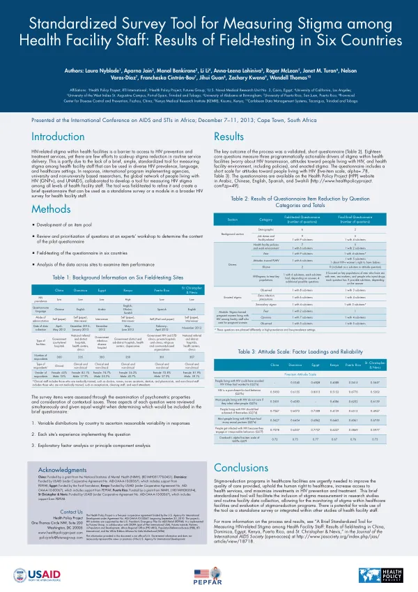
A Brief Standardized Tool for Measuring HIV-related Stigma among Health Facility Staff: Results of field-testing in Six Countries
Open record 2015
2015USAID DEC