COASTAL RESOURCES CENTER
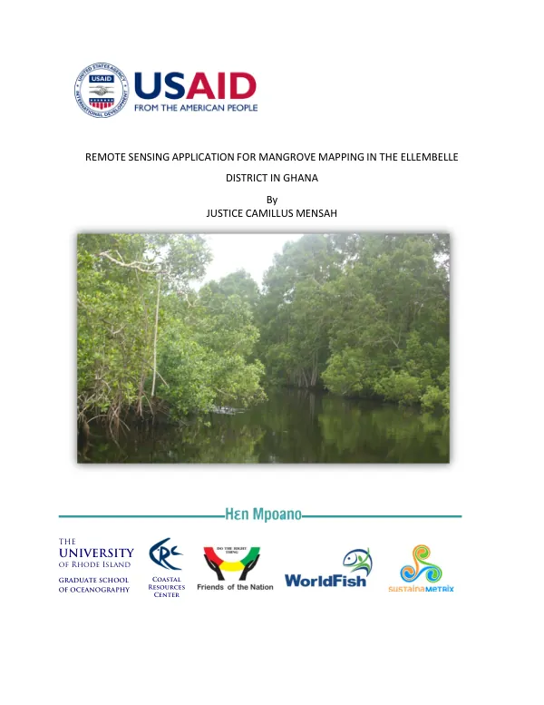
Remote Sensing Application for Mangrove Mapping in the Ellembelle District in Ghana
The Ellembelle district in the western region of Ghana is home to a significant portion of the country's mangrove ecosystems.
2013 · 24 pages
Sign in to readA free account is required to download.
Abstract
Despite the importance of these ecosystems, Ghana has experienced a decline in mangrove health and coverage, particularly outside of the five Ramsar designated sites. The use of compensatory mechanisms to address the exploitation of coastal ecosystems and climate change mitigation is still in its early stages in Ghana due to uncertainties in carbon stock estimates. The main objective of this study was to apply remote sensing technology to map the past and present areal extent of mangroves in the Ellembelle district. Three remotely sensed data sources were used: a true color orthorectified digital aerial photo, RapidEye satellite imagery, and Landsat Thematic Mapper (TM) imagery. Additional data were acquired through a participatory mapping exercise and a GPS survey. A hybrid method combining supervised and unsupervised classification was used along with principal components analysis (PCA) spectral transformation technique to produce four land cover classes: mangroves, other vegetation, water body, and others. The current mangrove map showed that this ecosystem covers approximately 450 hectares and comprises three species of pure mangroves: Avicennia germinans, Conarcarpus erectus, and Rhizophora species. A combination of GPS ground reference points and randomly generated reference points from the sub-meter digital aerial photo reported a producer's accuracy of 80.95% and a user's accuracy of 89.47% for mangroves. An overall Kappa statistics of 0.793 was recorded. The study area, Ellembelle district, is characterized by a complex hydrology, with surrounding communities and rivers influencing the mangrove ecosystem. The district's mangrove forests are an essential component of the coastal ecosystem, providing important ecosystem services such as shoreline stabilization, fisheries, and carbon sequestration. The results of the study highlight the importance of remote sensing technology in mapping mangrove ecosystems, particularly in areas with limited data. The use of a hybrid classification method and PCA spectral transformation technique allowed for the accurate identification of mangrove species and land cover classes. The study's findings have significant implications for the management and conservation of mangrove ecosystems in Ghana, particularly in the Ellembelle district. The study's methodology involved the use of three remotely sensed data sources, including a true color orthorectified digital aerial photo, RapidEye satellite imagery, and Landsat Thematic Mapper (TM) imagery. The data were processed and analyzed using a combination of supervised and unsupervised classification techniques, along with PCA spectral transformation. The results were validated using a combination of GPS ground reference points and randomly generated reference points from the sub-meter digital aerial photo. The study's conclusions emphasize the importance of remote sensing technology in mapping mangrove ecosystems and the need for continued research and monitoring to ensure the long-term conservation and management of these critical ecosystems. The study's findings also highlight the potential for remote sensing technology to support the development of compensatory mechanisms for addressing the exploitation of coastal ecosystems and climate change mitigation in Ghana.