USAID
Water Resources Profile Series: Madagascar
Madagascar's water resources profile reveals a complex situation, with the country being water abundant at a national scale but experiencing regional water availability and quality challenges.
2021 · 9 pages
Sign in to readA free account is required to download.
Abstract
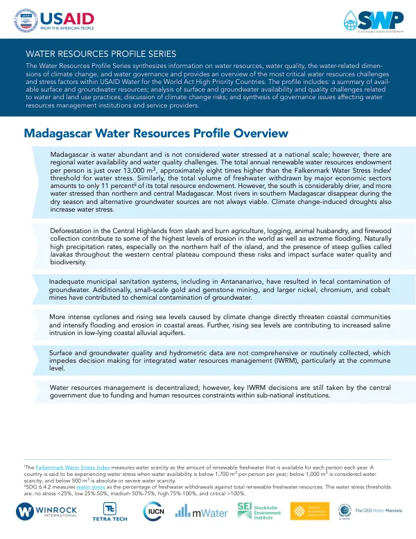
The total annual renewable water resources endowment per person is approximately 13,000 m3, which is eight times higher than the Falkenmark Water Stress Index threshold for water stress. However, southern Madagascar is considerably drier and more water stressed than northern and central Madagascar, with most rivers disappearing during the dry season and alternative groundwater sources not always viable. Climate change-induced droughts exacerbate water stress, while more intense cyclones and rising sea levels threaten coastal communities and intensify flooding and erosion in coastal areas. Rising sea levels also contribute to increased saline intrusion in low-lying coastal alluvial aquifers. Water resources management is decentralized, but key IWRM decisions are still taken by the central government due to funding and human resources constraints within sub-national institutions. Deforestation in the Central Highlands from slash and burn agriculture, logging, animal husbandry, and firewood collection contributes to some of the highest levels of erosion in the world, as well as extreme flooding. Naturally high precipitation rates, especially on the northern half of the island, and the presence of steep gullies called lavakas throughout the western central plateau compound these risks and impact surface water quality and biodiversity. Inadequate municipal sanitation systems, including in Antananarivo, have resulted in fecal contamination of groundwater, while small-scale gold and gemstone mining, and larger nickel, chromium, and cobalt mines have contributed to chemical contamination of groundwater. Madagascar has five main basins, with most surface waters draining from the Central Highlands across two of the basins. The Western slope drains from the Central Highlands to the Mozambique Channel and contains the largest and longest rivers, including the Betsiboka. The Eastern slope is significantly steeper and drains from the Central Highlands to the Indian Ocean, with major rivers including the Mananara, Mangoro, and Maningory. The Amber Mountain/Northeast slope, the Tsaratanana slope, and the Southern slope are three smaller basins that drain into the ocean and Mozambique channel. Southern Madagascar is semi-arid and has no perennial surface water, although seasonal rivers such as the Onilahy, Linta, Menarandra, Manambovo, and the Mandrare are important. Groundwater potential is lower in the Central Highlands and much of eastern Madagascar, whereas alluvial aquifers throughout western Madagascar are extremely productive. Low to moderately productive aquifers within the crystalline basement underlie two-thirds of the country, predominantly in the Central Highlands and the east, while productive sedimentary layers are found along the western coastal plains. Well yields throughout the crystalline basement in central and northeastern Madagascar range between 1,800-3,600 liters per hour, while wells depths along coastal plains and river valleys are similar or more shallow, though yields are significantly higher and range between 36,000 and 108,000 L/h. Wetland clearing for paddy rice irrigation has impacted biodiversity and reduced water quality, while deforestation from slash-and-burn agriculture, logging, timber extraction for fuel, and cattle pasturage drive erosion and sedimentation of watercourses, which reduces water quality and strains ecosystems. Mangrove degradation is rampant and threatens water quality, biodiversity, and coastal livelihoods. Agriculture in and around wetlands contributes to eutrophication, which reduces oxygen levels and strains aquatic biodiversity. Poor sanitation systems, municipal waste disposal, and the direct discharge of untreated industrial effluent pollute surface water with toxic and pathogenic contaminants in both rural and urban areas.
Related documents