FONDO ACCIÓN
A Stimulus Package for Subnational Protected Area Establishment in Colombia
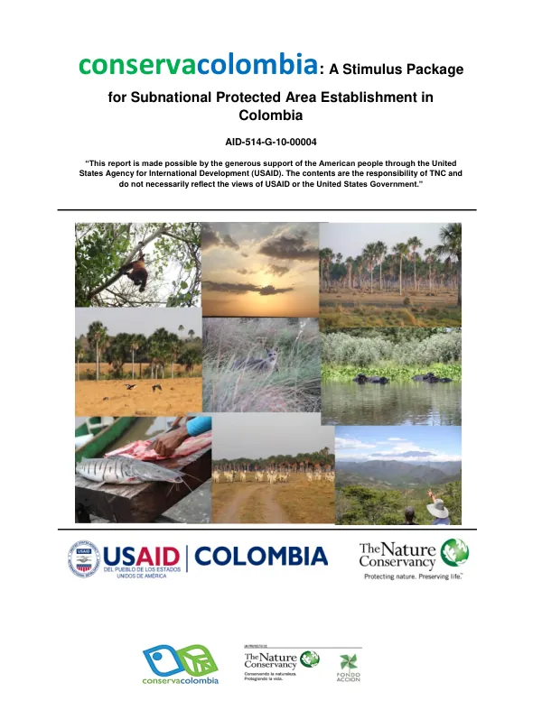
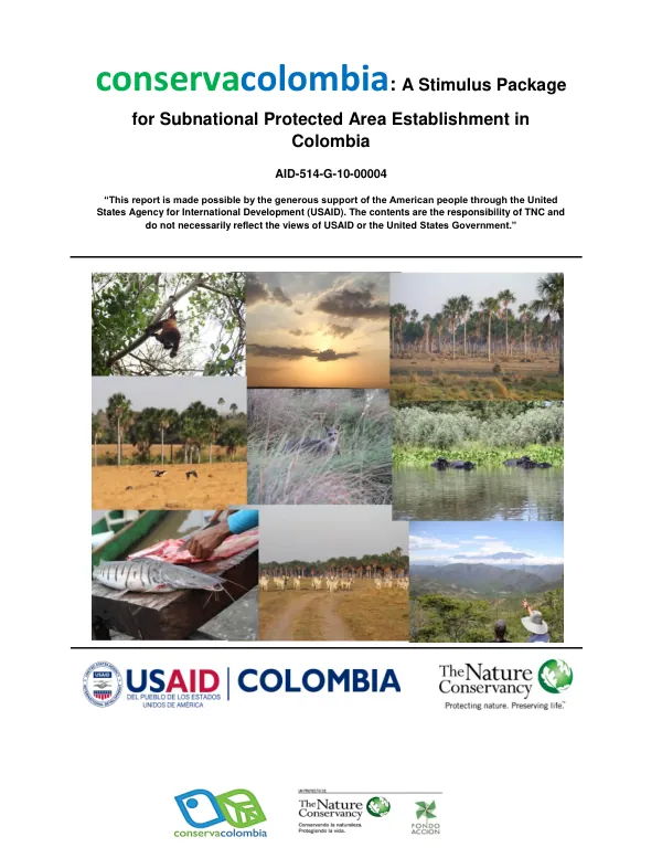
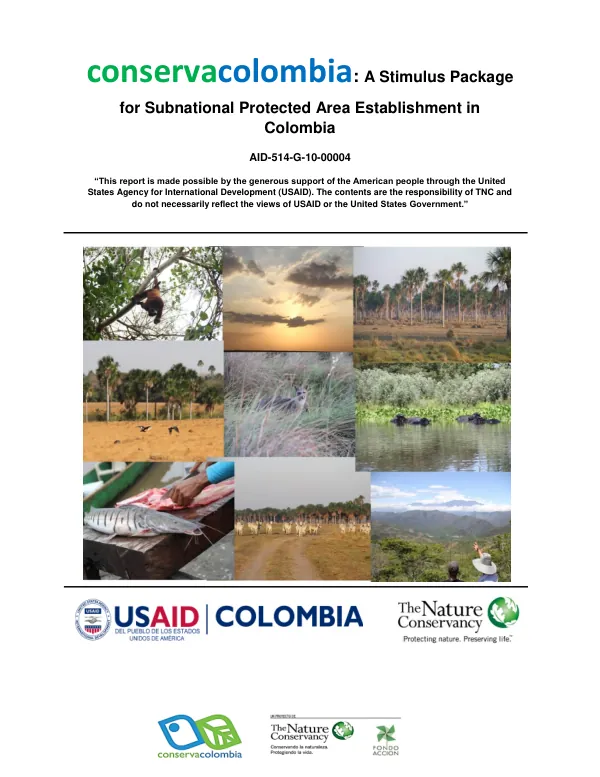
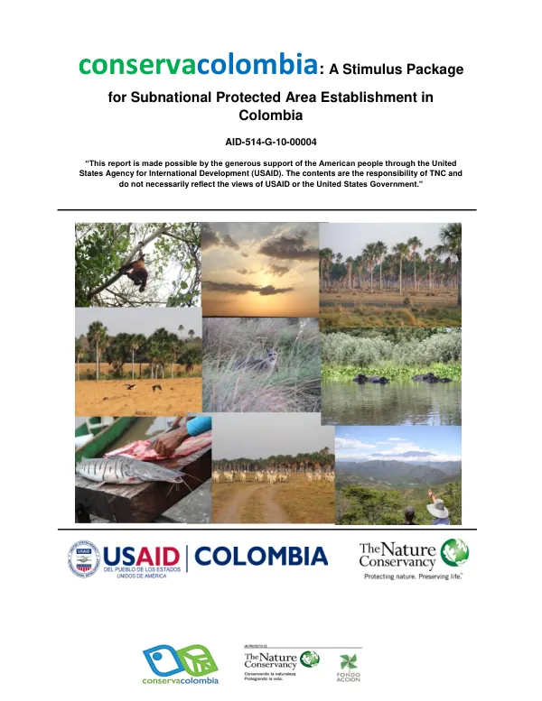
The Reserva Natural de la Sociedad Civil Corocito is a protected area located in the Department of Casanare, Municipio of Orocué, Colombia.
2014 · 5 pages
Sign in to readA free account is required to download.
Abstract
The area spans 188.2 hectares and was registered as a reserve by the Ministerio de Ambiente y Desarrollo Sostenible through resolution No. 0133 on November 12, 2014. The reserve is situated between the meridian coordinates of 4° 42' and 4° 42' and the parallel coordinates of 71° 32' and 71° 33'. The reserve is zoned into four areas: agrosistemas, amortiguación, conservación, and uso intensivo e infraestructura. The conservación zone, covering 52.70% of the total area, consists of forested areas along the banks of the Meta and Cravo Sur rivers. A narrow strip of amortiguación zone borders the conservación and uso intensivo zones. The agrosistemas zone is allocated for extensive cattle grazing on natural pastures characteristic of the Llanos inundables region. The uso intensivo zone includes houses, barns, and access roads to the residence. For further information on permitted uses in each zone, the plan de manejo de la reserva should be consulted. The reserve's geography is characterized by its location in the Llanos inundables region, a vast grassland area prone to flooding. The terrain is generally flat, with the exception of some gentle slopes near the rivers. The climate is tropical, with high temperatures and high levels of rainfall throughout the year. The reserve's vegetation is dominated by tropical grasses and shrubs, with some areas of forest along the rivers. The reserve's establishment is part of a broader effort to promote sustainable land use and conservation in the region. The reserve is managed by Fundación Palmarito Casanare and Fondo Acción, with the support of the American people through the United States Agency for International Development (USAID). The reserve's management plan aims to balance human needs with conservation goals, ensuring the long-term sustainability of the area's natural resources. The reserve's zoning plan is designed to accommodate different land uses while minimizing conflicts between them. The conservación zone is protected from human activities, while the agrosistemas zone allows for extensive cattle grazing. The amortiguación zone serves as a buffer between the conservación and uso intensivo zones, reducing the impact of human activities on the reserve's natural resources. The uso intensivo zone is allocated for human settlements and infrastructure development, subject to strict regulations to minimize their impact on the reserve's environment.