USAID DEC
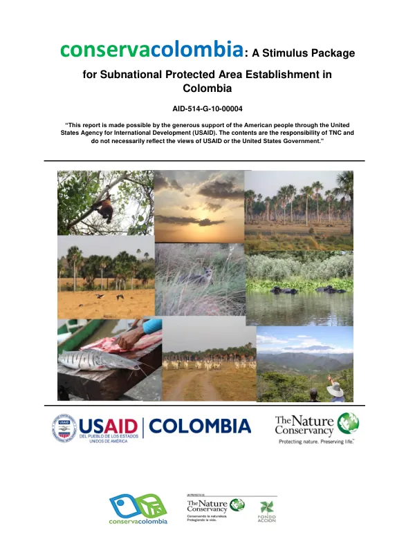
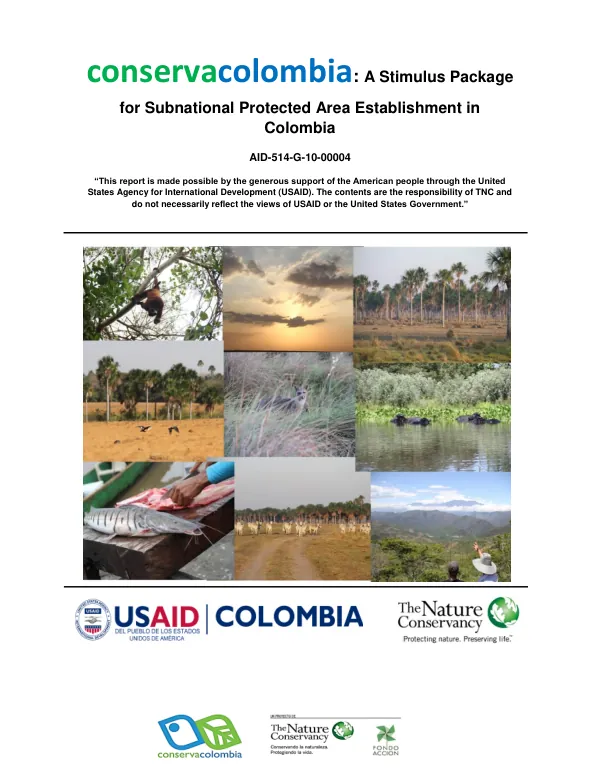
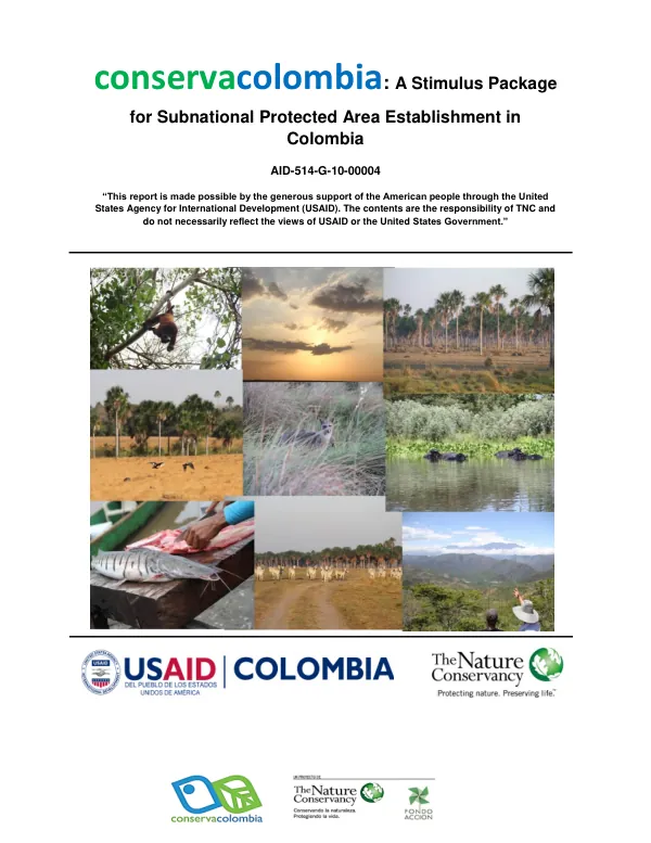
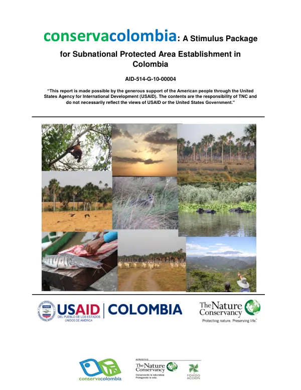
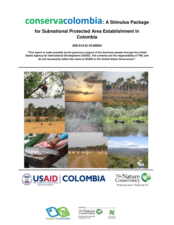
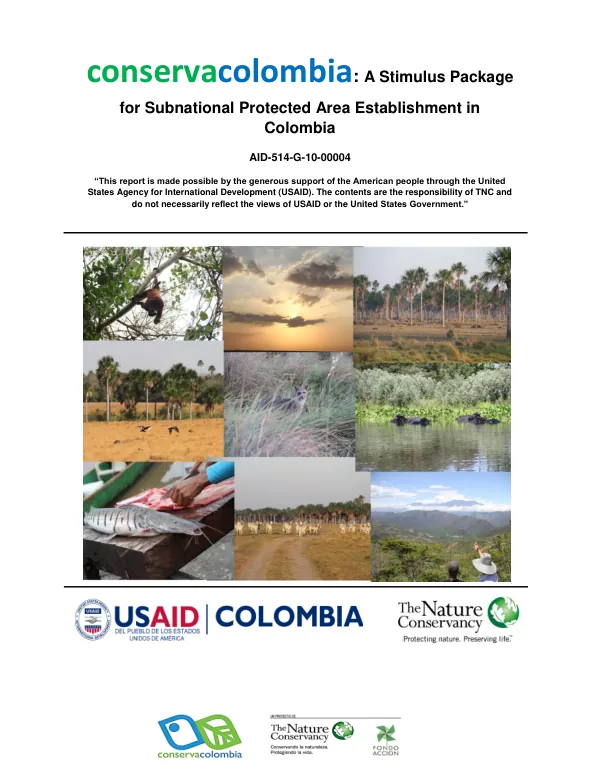
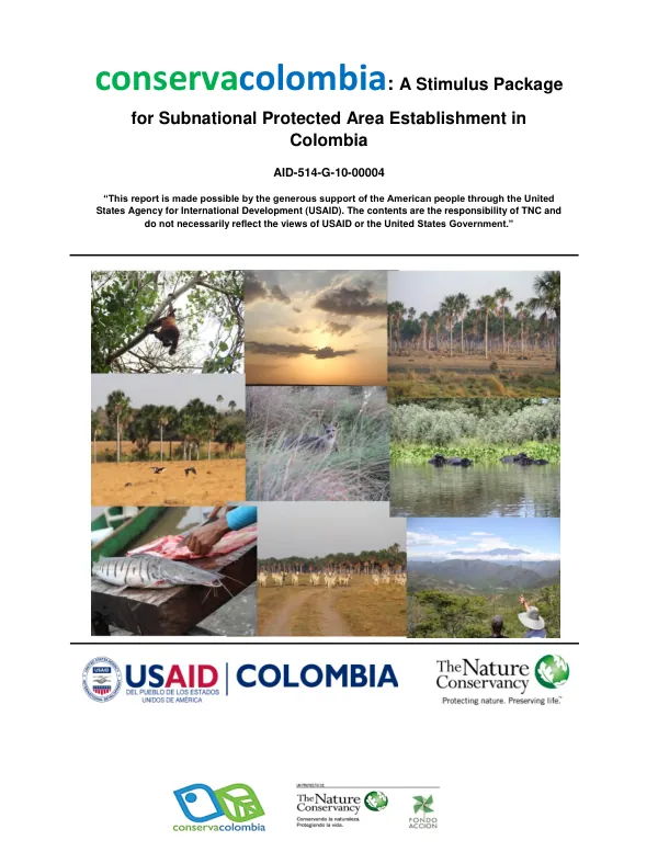
Conservacolombia: A Stimulus Package for Subnational Protected Area Establishment in Colombia
Sign inFONDO ACCIÓN
Conservacolombia: A Stimulus Package for Subnational Protected Area Establishment in Colombia
The Reserva Natural de la Sociedad Civil El Pañuelo is a protected area located in the Department of Vichada, Municipio of Puerto Carreño, Colombia.
2014 · 5 pages
Sign in to readA free account is required to download.
Abstract
The area spans 1,293.9 hectares and is situated between 6° 07´ and 6° 04´ latitude north and 67° 29´ and 67° 32´ longitude west. The reserve is in the process of being registered with Parques Nacionales as a natural reserve. The reserve is zoned into three main areas: conservación, amortiguación, and uso intensivo e infraestructura. The zona de conservación covers approximately 88.89% of the reserve, encompassing the forests of the Orinoco River and the caños negro and amarillo. A narrow strip of zona de amortiguación separates the conservación zone from the uso intensivo e infraestructura zone, where residential areas are located. There are no designated agrosistemas zones within the reserve. The zona de conservación is the largest area within the reserve, covering 1150.14 hectares. This zone includes the forests of the Orinoco River and the caños negro and amarillo. The zona de amortiguación, which covers 52.924 hectares, serves as a buffer zone between the conservación zone and the uso intensivo e infraestructura zone. The uso intensivo e infraestructura zone, covering 90.836 hectares, is where residential areas and infrastructure are located. The reserve's zoning plan is outlined in the plan de manejo de la reserva, which provides detailed information on the permitted uses for each zone. The reserve's location in the Department of Vichada, a region known for its rich biodiversity, makes it an important area for conservation efforts. The reserve's unique zoning system aims to balance conservation and human use, providing a model for sustainable land use in the region.