FONDO ACCIÓN
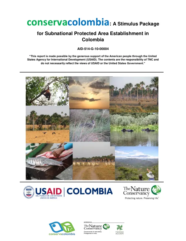
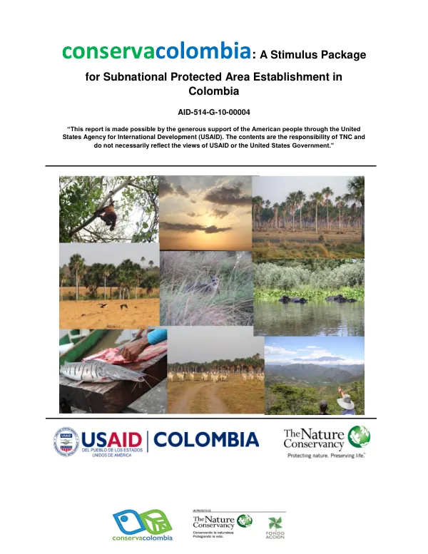
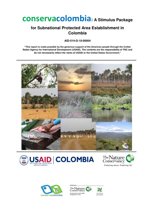
A Stimulus Package for Subnational Protected Area Establishment in Colombia
The Reserva Natural de la Sociedad Civil El Gavilán is a protected area located in the Department of Vichada, Municipio de La Primavera, Colombia.
2014 · 5 pages
Sign in to readA free account is required to download.
Abstract
The reserve covers an area of 1,265.1 hectares, as defined by the boundaries of the "El Gavilán" property. This area was registered as a Reserva Natural de la Sociedad Civil "El Gavilán" by the Ministerio de Ambiente y Desarrollo Sostenible through Resolution No. 0132 on November 12, 2014. The reserve's geographic location is situated at the following coordinates: N 1085750.653312 m, E 2156012.483906 m, O 2151385.249598 m, and S 1080244.409375 m. The reserve's zoning is divided into four main areas: agrosistemas, amortiguación, conservación, and uso intensivo e infraestructura. The agrosistemas zone covers 581.458 hectares, accounting for 45.93% of the total area, and is primarily used for extensive cattle grazing. The amortiguación zone covers 139.781 hectares, making up 11.04% of the total area, and serves as a buffer zone surrounding the conservation area. The conservación zone, covering 524.592 hectares or 41.44% of the total area, is comprised of forested areas along the banks of the El Gavilán River and smaller streams. The uso intensivo e infraestructura zone, covering 20.155 hectares or 1.59% of the total area, is designated for residential areas, corrals, barns, and a landing strip. The reserve's conservation zone is primarily composed of forested areas along the banks of the El Gavilán River and smaller streams. A narrow buffer zone, known as amortiguación, surrounds the conservation area. The agrosistemas zone is allocated for extensive cattle grazing, characteristic of the region's Llanos inundables. The uso intensivo e infraestructura zone is designated for residential areas, corrals, barns, and a landing strip. For further information on the permitted uses in each zone, the plan de manejo de la reserva should be consulted.
Related documents