USAID DEC
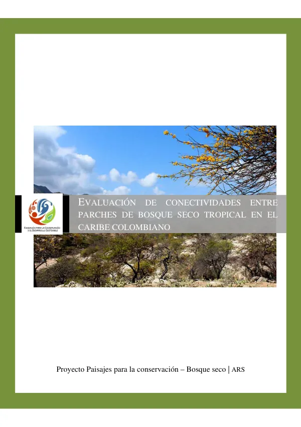
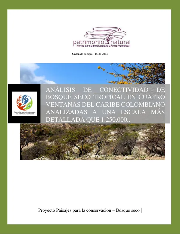
ANÁLISIS DE CONECTIVIDAD DE BOSQUE SECO TROPICAL EN CUATRO VENTANAS DEL CARIBE COLOMBIANO ANALIZADAS A UNA ESCALA MÁS DETALLADA QUE 1:250.000
Sign inUSAID
ANÁLISIS DE CONECTIVIDAD DE BOSQUE SECO TROPICAL EN CUATRO VENTANAS DEL CARIBE COLOMBIANO ANALIZADAS A UNA ESCALA MÁS DETALLADA QUE 1:250.000
The project "Paisajes para la conservación – Bosque seco" in Colombia aimed to analyze the connectivity of tropical dry forest in four windows of the Colombian Caribbean.
2014 · 71 pages
Sign in to readA free account is required to download.
Abstract
The study area was divided into four regions: Rio Gaira, Atlantico – Bolivar, Montes de María, and Rio Seco – Paladines. The analysis was conducted at a scale of 1:250,000. The methodology involved the use of remote sensing and geographic information systems (GIS) to create a land cover map at a scale of 1:100,000. The map was created using Landsat images and the Corine Land Cover classification system. The analysis of connectivity between patches of tropical dry forest was conducted using the Least Cost Path (LCP) method, which identifies the most cost-effective route between two points. The results of the analysis showed that the Rio Gaira region had the highest level of connectivity between patches of tropical dry forest, with a total length of 1,234 km of corridors. The Atlantico – Bolivar region had the lowest level of connectivity, with a total length of 543 km of corridors. The Montes de María region had a moderate level of connectivity, with a total length of 934 km of corridors. The Rio Seco – Paladines region had a low level of connectivity, with a total length of 421 km of corridors. The analysis also showed that the cost of connectivity between patches of tropical dry forest varied greatly between regions. The Rio Gaira region had the lowest cost of connectivity, with an average cost of $10 per hectare. The Atlantico – Bolivar region had the highest cost of connectivity, with an average cost of $50 per hectare. The Montes de María region had a moderate cost of connectivity, with an average cost of $20 per hectare. The Rio Seco – Paladines region had a high cost of connectivity, with an average cost of $40 per hectare. The study concluded that the connectivity of tropical dry forest in the Colombian Caribbean is a complex issue, influenced by a variety of factors including land use, topography, and climate. The results of the analysis provide valuable information for conservation efforts and can be used to inform the development of strategies for the protection and restoration of tropical dry forest ecosystems.