THE JANE GOODALL INSTITUTE
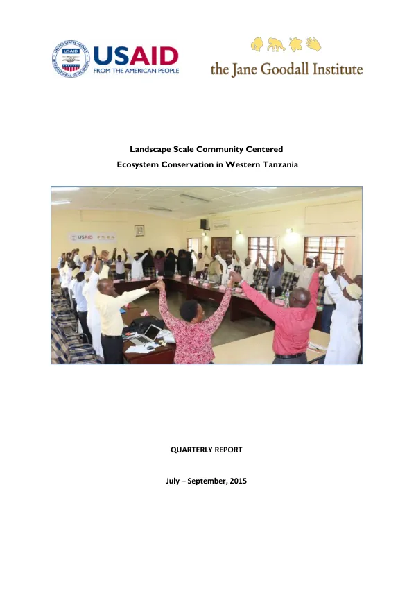
Landscape Scale Community Centered Ecosystem Conservation in Western Tanzania
The Landscape Scale Community-Centered Ecosystem Conservation Program in Western Tanzania focuses on community engagement and participation in natural resource management in 52 target villages.
2016 · 51 pages
Sign in to readA free account is required to download.
Abstract
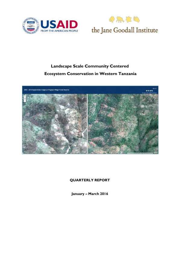
The program utilizes land use planning, community-based forest management, community economic empowerment, sustainable farming, and good governance to achieve sustainable natural resources management in the landscape. Implementation of the program has led to the development of village land use plans (LUPs) in two villages, Pamila and Matendo, resulting in the designation of 2,156 hectares as village land forest reserves. This contributes to the indicator area under improved natural resource management. The program has also facilitated the development of 54 VLUPs in total. Regular patrols of village forest reserves have shown improvements in the management of these areas. Forest monitors, firefighting teams, community-based organizations, and village land use management teams conduct monthly joint patrols for at least 8 days in a month. These patrols have reduced or eliminated deforestation and illegal activities in the area. In Uvinza District, forest patrols covered 156,493.6 hectares within Masito and Ugalla Local Authority Forest Reserves, identifying violations of natural resources laws and bylaws. The program has also strengthened collaboration with Esri and Digital Globe to develop practical approaches for quantifying forest regeneration in village forest reserves. New tools, including Esri's Drone2Map tool, are being tested to streamline the creation of high-resolution imagery products from drone-captured still imagery to monitor reforestation and illegal human activities. The program has facilitated the construction of two CBO offices at Mwamila and Kalalangabo villages for JUMUNTAGO and TUMAKATA CBOs. These offices are intended to enhance good natural resources governance by supporting management and coordination of village-level conservation initiatives. The Western Tanzania Forest Monitoring Dashboard, based on the Forest Watcher platform, was officially introduced and launched during the quarter. This dashboard incorporates ground data regularly collected by Forest Monitors and enhances the understanding of forest cover changes as a result of human activities, monitoring climate change impacts, and supporting decision-making and forest management. A one-day review of the Greater Gombe-Mahale Ecosystem Conservation Action Plan (CAP) was conducted, which identified priority strategies for improved chimpanzee conservation in western Tanzania, as well as other conservation targets. The CAP review was enhanced by biological data generated from recent chimpanzee surveys conducted by different stakeholders working in the area. The program has continued to support the development of village land use plans, community-based forest management, and sustainable farming practices. The program has also strengthened collaboration with local authorities, community-based organizations, and other stakeholders to achieve sustainable natural resources management in the landscape. The program has made significant progress in the development of village land use plans, community-based forest management, and sustainable farming practices. The program has also strengthened collaboration with local authorities, community-based organizations, and other stakeholders to achieve sustainable natural resources management in the landscape. The program has facilitated the development of 54 VLUPs, with 2,156 hectares designated as village land forest reserves. Regular patrols of village forest reserves have shown improvements in the management of these areas, reducing or eliminating deforestation and illegal activities. The program has also strengthened collaboration with Esri and Digital Globe to develop practical approaches for quantifying forest regeneration in village forest reserves.