USAID
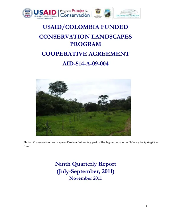
Ninth Quarterly Report: Conservation Landscapes Program
The Conservation Landscapes Program in Colombia began implementing activities in the Katíos Park, with the local operator Alta Montaña Andina (AMA) making substantial accomplishments.
2011 · 68 pages
Sign in to readA free account is required to download.
Abstract
AMA identified and agreed with communities to protect a native forest patch covering 54.661 hectares, surpassing the goals expected with this local operator. The community's participative survey and view about the need for protecting the area contributed to reaching this agreement. In the Tame, Arauca area, Fundación Pantera installed most of the areas for the jaguar corridor, with fencing, feline attack prevention, and production system improvements for cattle ranchers. The original Performance Monitoring Plan (PMP) approved in 2010 had most of its targets reached, except for production systems hectares, new monitoring processes in the parks, and the number of people trained. A new set of targets and adjustments for the PMP were sent for USAID's approval, increasing most of the goals to incorporate targets agreed upon by contracts with local operators. The Katíos Park began to report important advances related to their institutional mission and other activities planned in the program. The local action plan for control and surveillance was drafted by the Park staff, the Pacific Territorial Direction, and the Technical Sub-Direction. This document is a tool for improving relations with community and institutional stakeholders, allowing for better governance and complying with conservation objectives. More than twenty surveys were conducted during the period June 1st to September 30, some of which allowed identifying and dismantling camp grounds installed by illegal loggers and hunters. Three sanctioning processes were imposed as a result. New monitoring processes are underway for fisheries and birds, with technical support from Fundación Calidris. The goal of this plan is to reach agreements for improved use and management of fisheries in an area around 10,000 hectares. The Sipein methodology, developed by Invemar and implemented by the National Natural Parks in their marine and coastal protected areas, includes a fisheries census with reference tables to compile and systematize information on types and characteristics of fishing gear, boats, fish species, landing areas, fishing places, and data on the fishers themselves. The fishing areas' maps have been drawn for the Ciénagas of Tumaradó and Perancho by the fishers and the technical staff. Over the reporting period, the activities included carrying out the census, where 139 fishers were identified as operating in the area. The Conservation Landscapes Program's activities in the Katíos Park and other areas have shown significant progress, with local operators making substantial contributions to conservation efforts. The program's goals and targets have been adjusted to incorporate new agreements with local operators, and new monitoring processes are underway to improve the management of fisheries and other natural resources.